
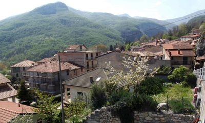
Alto, Italian comune
Location: Province of Cuneo
Elevation above the sea: 652 m
Shares border with: Caprauna, Nasino, Ormea, Aquila d'Arroscia
Website: http://comune.alto.cn.it
GPS coordinates: 44.11667,8.00000
Latest update: March 3, 2025 09:54
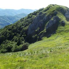
Monte Galero
4.6 km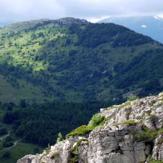
Monte Armetta
5.3 km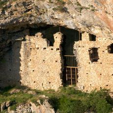
Balma del Messere
8.4 km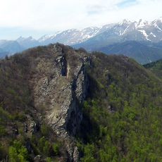
Rocca delle Penne
5.5 km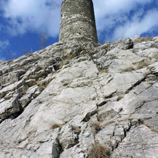
Torre di Barchi
5.4 km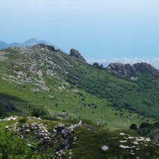
Monte Dubasso
2.4 km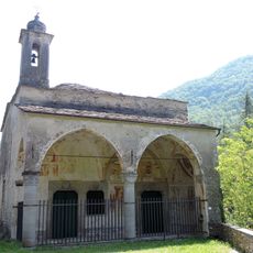
San Pantaleo
6.7 km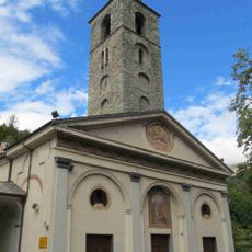
San Martino
7.9 km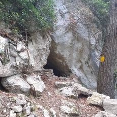
Arma Veirana
6.6 km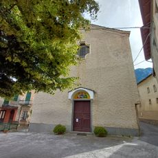
Santi Pietro e Paolo
6.5 km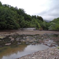
Lago del Ferraia
2.4 km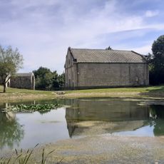
Madonna del Lago
624 m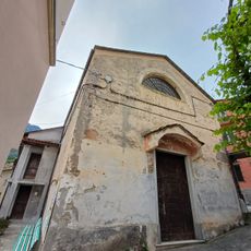
San Benedetto
6.6 km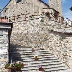
San Bartolomeo
965 m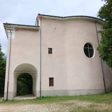
Assunta
4.6 km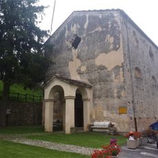
San Michele
1 km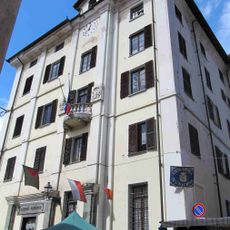
Town hall of Ormea
8 km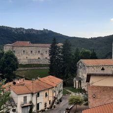
Castello dei Conti Cepollini
1 km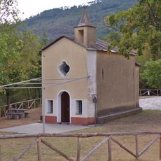
San Giacomo
2.4 km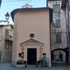
Madonna degli Angeli
7.9 km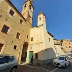
Santissima Annunziata
6.5 km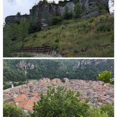
Ormea Castle
8.1 km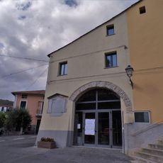
Museo del Territorio
3.7 km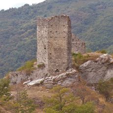
Castello dell'Aquila
2.4 km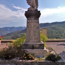
Monumento ai Caduti
3.7 km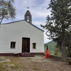
San Sebastiano
6.7 km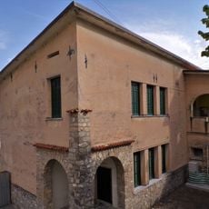
Town hall
3.7 km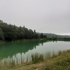
Lago di Menezzo
4.5 kmVisited this place? Tap the stars to rate it and share your experience / photos with the community! Try now! You can cancel it anytime.
Discover hidden gems everywhere you go!
From secret cafés to breathtaking viewpoints, skip the crowded tourist spots and find places that match your style. Our app makes it easy with voice search, smart filtering, route optimization, and insider tips from travelers worldwide. Download now for the complete mobile experience.

A unique approach to discovering new places❞
— Le Figaro
All the places worth exploring❞
— France Info
A tailor-made excursion in just a few clicks❞
— 20 Minutes