
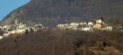
Andrate, Italian comune
Location: Metropolitan City of Turin
Capital city: Andrate
Elevation above the sea: 836 m
Shares border with: Borgofranco d'Ivrea, Chiaverano, Donato, Piedmont, Nomaglio, Settimo Vittone
Website: http://comune.andrate.to.it
GPS coordinates: 45.52736,7.88032
Latest update: March 4, 2025 08:02
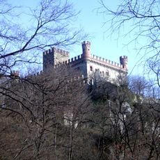
Castello di Montalto Dora
3.4 km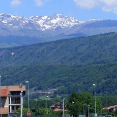
Colma di Mombarone
6.6 km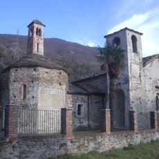
Pieve di San Lorenzo
4.3 km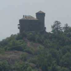
Montestrutto Castle
3.5 km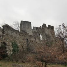
Castello di Cesnola
5.6 km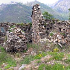
Castello di Suzey
9.3 km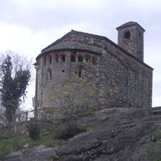
Santo Stefano di Sessano
3.9 km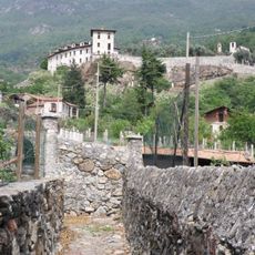
Castle of Settimo Vittone
4.3 km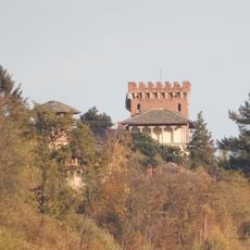
Castello Rubino
977 m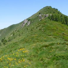
Bec di Nona
8.7 km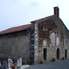
Chiesa cimiteriale di Santa Maria Assunta
5.7 km
Castello di Castruzzone
7 km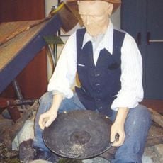
Ecomuseo Valle Elvo e Serra
8.8 km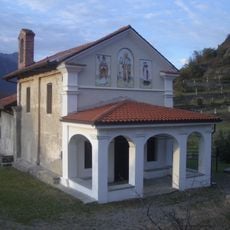
San Rocco
3.7 km
Ecomuseo della Tradizione Costruttiva - La Trappa
9.2 km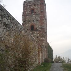
San Giuseppe Castle
4.2 km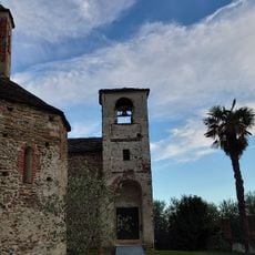
Battistero di San Giovanni e Pieve di San lorenzo
4.3 km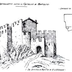
Castelletto
3.5 km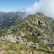
Monte Bechit
9.1 km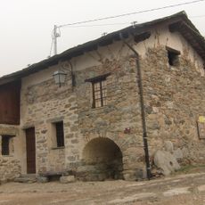
Mulino superiore
2.1 km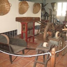
Museo della civiltà contadina
149 m
Balmetti
1.8 km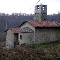
Chiesa di Santa Maria Maddalena
5.4 km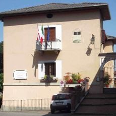
Town hall of Graglia
8.6 km
Town hall of Donato
2.1 km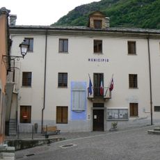
Town hall of Carema
8.3 km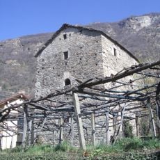
Casa Forte "Gran Masun"
8.1 km
Town hall of Sala Biellese
6.2 kmVisited this place? Tap the stars to rate it and share your experience / photos with the community! Try now! You can cancel it anytime.
Discover hidden gems everywhere you go!
From secret cafés to breathtaking viewpoints, skip the crowded tourist spots and find places that match your style. Our app makes it easy with voice search, smart filtering, route optimization, and insider tips from travelers worldwide. Download now for the complete mobile experience.

A unique approach to discovering new places❞
— Le Figaro
All the places worth exploring❞
— France Info
A tailor-made excursion in just a few clicks❞
— 20 Minutes