
Fontainemore, Italian comune
Location: Aosta Valley
Capital city: Fontainemore
Elevation above the sea: 760 m
Shares border with: Biella, Issime, Pollone, Andorno Micca, Lillianes, Sagliano Micca
Website: http://comune.fontainemore.ao.it
GPS coordinates: 45.65000,7.86667
Latest update: March 21, 2025 07:18


Monte Mucrone
6.9 km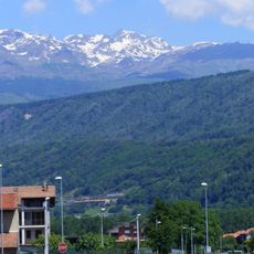
Colma di Mombarone
7.4 km
Monte Rosso (Alpi Biellesi)
5.6 km
Monte Cresto
4.8 km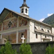
Chiesa di San Giacomo
4 km
Monte Tovo
7.4 km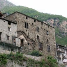
Castello dei Vallaise
6.1 km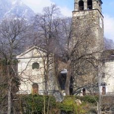
Tour d'Hérères
5.5 km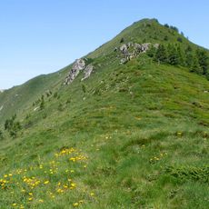
Bec di Nona
5.5 km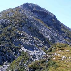
Monte Pietra Bianca
4.1 km
Riserva naturale Mont Mars
4.5 km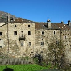
Castello Charles
5.4 km
Punta Gran Gabe
4.7 km
Punta della Barma
5.7 km
Punta della Vecchia
5.5 km
Punta della Gragliasca
4.6 km
Chemp Museo a cielo aperto
4.6 km
Parish Museum of Issime
4 km
Monte Camino (Alpi Biellesi)
6.1 km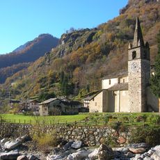
San Rocco
2.6 km
Monte Bechit
5.1 km
Fontana del Truc
523 m
Museo della Brigata Lys
6.1 km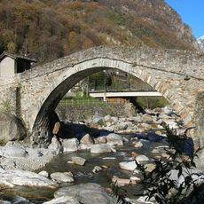
Ponte in pietra
2.6 km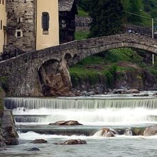
Thirteenth-century bridge over the Lys stream
601 m
Plan des Sorcières
3.7 km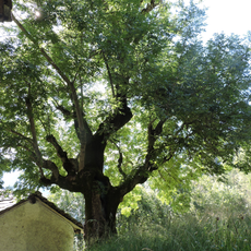
Frassino secolare di Pessé
6 km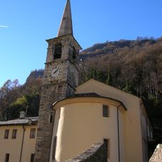
Sant'Antonio Abate
738 mReviews
Visited this place? Tap the stars to rate it and share your experience / photos with the community! Try now! You can cancel it anytime.
Discover hidden gems everywhere you go!
From secret cafés to breathtaking viewpoints, skip the crowded tourist spots and find places that match your style. Our app makes it easy with voice search, smart filtering, route optimization, and insider tips from travelers worldwide. Download now for the complete mobile experience.

A unique approach to discovering new places❞
— Le Figaro
All the places worth exploring❞
— France Info
A tailor-made excursion in just a few clicks❞
— 20 Minutes