
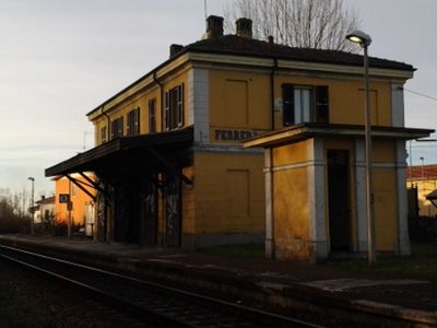
Ferrera Erbognone, Italian comune
Location: Province of Pavia
Capital city: Ferrera Erbognone
Elevation above the sea: 89 m
Website: http://www.comune.ferreraerbognone.pv.it/
Shares border with: Lomello, Ottobiano, Pieve del Cairo, Scaldasole, Valeggio, Mezzana Bigli, Galliavola, Sannazzaro de' Burgondi
Website: http://comune.ferreraerbognone.pv.it
GPS coordinates: 45.11667,8.86667
Latest update: March 12, 2025 13:18

Santa Maria Maggiore, Lomello
5.7 km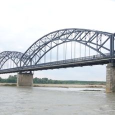
Ponte della Gerola
7 km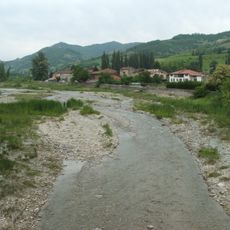
Curone
7.7 km
Baptistery of San Giovanni ad Fontes
5.7 km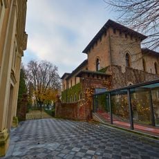
Castello di San Gaudenzio
13.3 km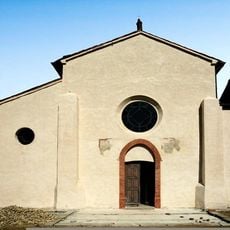
Abbazia di Acqualunga
12.5 km
Castello di Silvano Pietra
10.7 km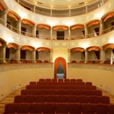
Teatro Martinetti
9.9 km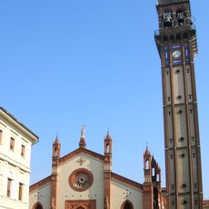
San Marziano Church
10.4 km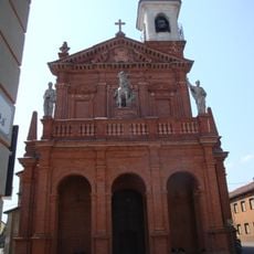
San Giorgio
11.8 km
Chiesa di San Martino Vescovo
10.3 km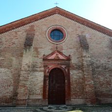
San Giovanni Battista
13.2 km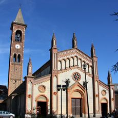
Chiesa dei Santi Nazario e Celso
3.7 km
Beata Vergine della Consolazione (Pieve del Cairo)
9 km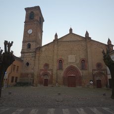
Chiesa dei Santi Maria e Siro
15.5 km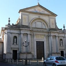
Santo Stefano Church
16.3 km
Scuola dei Linaroli
13.5 km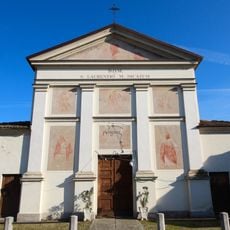
San Lorenzo
4.3 km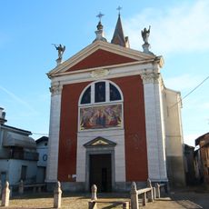
Santa Maria delle Grazie Church
10.6 km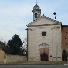
Natività di Maria Church
11.1 km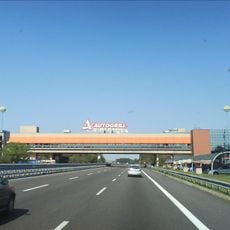
Dorno rest area
10.4 km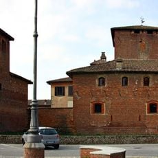
Castello di Scaldasole
3.4 km
Santi Pietro e Paolo
15.2 km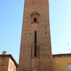
Torre campanaria
10.7 km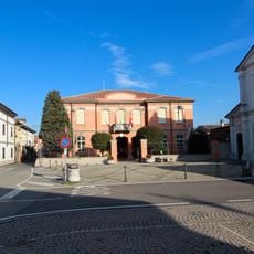
Town hall of Isola Sant'Antonio
9.6 km
Town hall of Molino dei Torti
10.6 km
Town hall of Alzano Scrivia
11.1 km
War memorial in Galliavola
4.3 kmReviews
Visited this place? Tap the stars to rate it and share your experience / photos with the community! Try now! You can cancel it anytime.
Discover hidden gems everywhere you go!
From secret cafés to breathtaking viewpoints, skip the crowded tourist spots and find places that match your style. Our app makes it easy with voice search, smart filtering, route optimization, and insider tips from travelers worldwide. Download now for the complete mobile experience.

A unique approach to discovering new places❞
— Le Figaro
All the places worth exploring❞
— France Info
A tailor-made excursion in just a few clicks❞
— 20 Minutes