
Arsita, Italian comune
Location: Province of Teramo
Capital city: Arsita
Elevation above the sea: 470 m
Shares border with: Castel del Monte, Castelli, Abruzzo, Penne, Bisenti, Farindola
Website: http://tecuting.it/c067003/hh/index.php?lang_eg=2
GPS coordinates: 42.50226,13.78452
Latest update: March 3, 2025 17:43
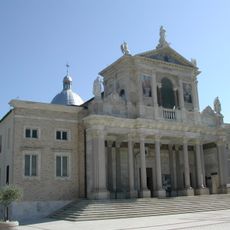
Sanctuary of Saint Gabriel of Our Lady of Sorrows
10.6 km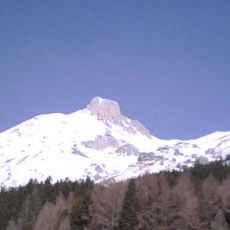
Monte Camicia
8.9 km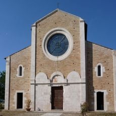
Chiesa di Santa Maria di Ronzano
8.3 km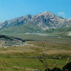
Monte Prena
10.7 km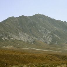
Monte Brancastello
13.4 km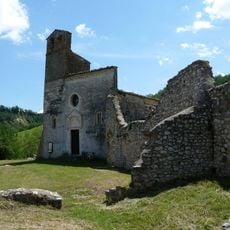
Chiesa di San Giovanni ad insulam
8.4 km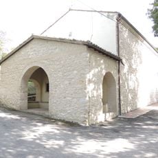
Church of Saint Donatus
6.1 km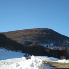
Cima della Cioccola
14.8 km
Orto Botanico Riserva Lago di Penne
11.9 km
Santa Maria degli Angeli
3.3 km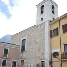
Church of Saint John the Baptist
6.1 km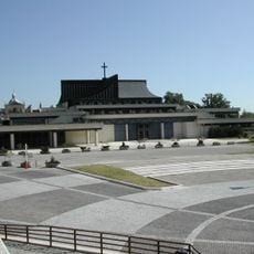
Museo Staurós d'arte sacra contemporanea
10.6 km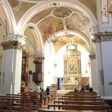
Church of Saint Maximus
10.1 km
Church of Saint Roch
6.2 km
Church of Archangel Michael
10.4 km
San Martino
8 km
Chiesa di Santa Vittoria Vergine e Martire
76 m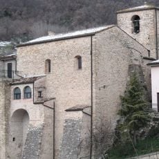
Santa Lucia
9.4 km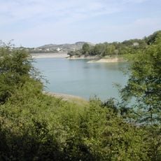
Riserva naturale controllata Lago di Penne
12.3 km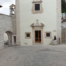
San Rocco
16 km
San Donato
15.8 km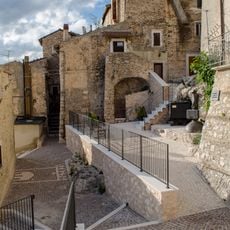
Piazzetta Marcinelle
16 km
San Marco Evangelista
16.1 km
Chiesa della Madonna delle Grazie
16.1 km
Monte Siella
8.1 km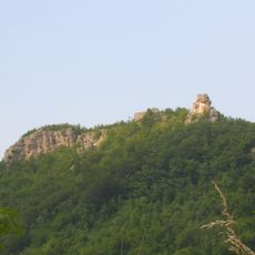
Castello di Pagliara
8.7 km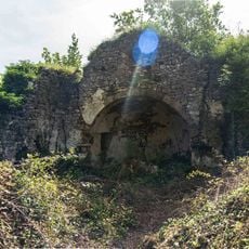
Chiesa dei Santi Maria del Caldarolo e Valentino
12.5 km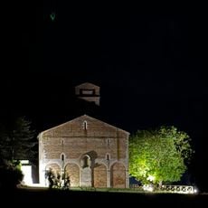
Chiesa della Madonna degli Angeli
7.7 kmVisited this place? Tap the stars to rate it and share your experience / photos with the community! Try now! You can cancel it anytime.
Discover hidden gems everywhere you go!
From secret cafés to breathtaking viewpoints, skip the crowded tourist spots and find places that match your style. Our app makes it easy with voice search, smart filtering, route optimization, and insider tips from travelers worldwide. Download now for the complete mobile experience.

A unique approach to discovering new places❞
— Le Figaro
All the places worth exploring❞
— France Info
A tailor-made excursion in just a few clicks❞
— 20 Minutes