
Sant'Omero, Italian comune
Location: Province of Teramo
Capital city: Sant'Omero
Elevation above the sea: 209 m
Shares border with: Campli, Corropoli, Mosciano Sant'Angelo, Nereto, Sant'Egidio alla Vibrata, Torano Nuovo, Bellante, Civitella del Tronto, Tortoreto
Website: https://comune.santomero.te.it
GPS coordinates: 42.78333,13.80000
Latest update: March 23, 2025 17:08


Salinello Viaduct
11 km
Onda Blu
11.3 km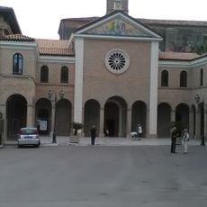
Santuario Maria Santissima dello Splendore
12.8 km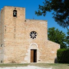
Church of Saint Mary a Vico
2.4 km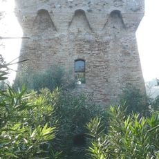
Torre del Salinello
13.1 km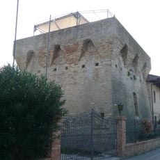
Torre della Vibrata
11.7 km
Splendor Art Museum
12.8 km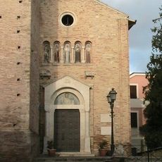
San Michele Arcangelo
8.2 km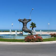
Mermaid fountain
12.4 km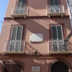
Museo civico musicale Gaetano Braga
13.2 km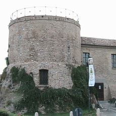
Torrione La Rocca museum
13.1 km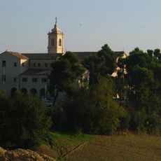
Santa Maria delle Grazie
12.4 km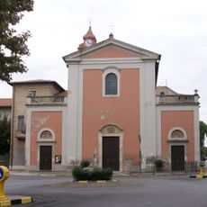
Chiesa di Sant'Antonio Abate
9.8 km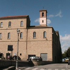
Sant'Agostino
9.5 km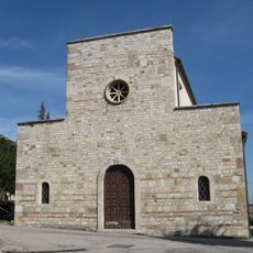
San Martino church
4 km
Ecomuseum of the sea
12.4 km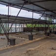
Villa rustica "Le Muracche"
11.1 km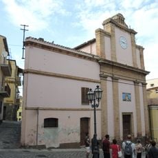
Misericordia
13.3 km
Maria della Consolazione church
4.4 km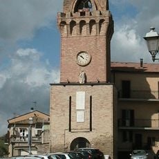
Clock tower
9.6 km
Church of the Brotherhood of Suffrage
4.2 km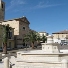
Monumental fountain
4.2 km
Santa Maria della Misericordia
9.6 km
Spiaggia di Alba Adriatica
12.2 km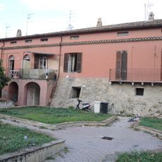
Palazzo Massei
13.2 km
Palazzo Municipale
13.3 km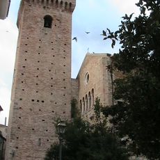
Torre Acquaviva
8.2 km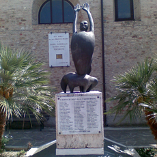
Monumento ai caduti di Tortoreto
9.9 kmReviews
Visited this place? Tap the stars to rate it and share your experience / photos with the community! Try now! You can cancel it anytime.
Discover hidden gems everywhere you go!
From secret cafés to breathtaking viewpoints, skip the crowded tourist spots and find places that match your style. Our app makes it easy with voice search, smart filtering, route optimization, and insider tips from travelers worldwide. Download now for the complete mobile experience.

A unique approach to discovering new places❞
— Le Figaro
All the places worth exploring❞
— France Info
A tailor-made excursion in just a few clicks❞
— 20 Minutes