
Gonars, Italian comune
Location: ente di decentramento regionale di Udine
Capital city: Gonars
Elevation above the sea: 21 m
Shares border with: Bagnaria Arsa, Bicinicco, Palmanova, Porpetto, Torviscosa, Castions di Strada, Santa Maria la Longa
Website: http://comune.gonars.ud.it
GPS coordinates: 45.90000,13.23333
Latest update: April 4, 2025 02:43

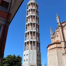
Campanile di Mortegliano
6.8 km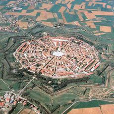
Palmanova Fortress
6 km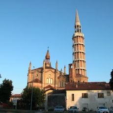
Duomo
6.8 km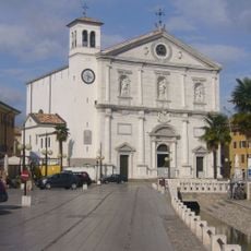
Cathedral
6 km
Sant'Andrea Apostolo
3 km
San Giorgio Martire
7.9 km
Santa Maria Maddalena
8.8 km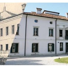
Villa Dora
7.8 km
Santa Maria delle Grazie Church
3.4 km
Santa Maria Assunta
6.2 km
Santa Caterina
8 km
Church of San Nicolò
8.2 km
San Marco Evangelista
3.9 km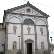
San Giuseppe
3.8 km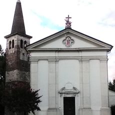
Chiesa di San Vincenzo Martire
4.5 km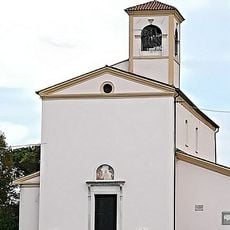
Chiesa di San Francesco d'Assisi
3.5 km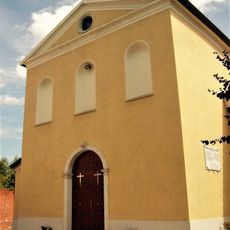
San Martino Vescovo Church
7.3 km
San Giorgio Martire
4.3 km
Chiesa di Sant'Agnese
9.1 km
San Pietro Apostolo
4.4 km
Chiesa di San Giorgio
2.4 km
Sant'Andrea Apostolo Church
5.3 km
Santa Maria Maggiore
9 km
Chiesa di San Michele Arcangelo
5.4 km
San Sebastiano
7.3 km
San Michele Arcangelo
3.2 km
San Giorgio Martire
8.3 km
Chiesa di San Giusto Martire
2.8 kmReviews
Visited this place? Tap the stars to rate it and share your experience / photos with the community! Try now! You can cancel it anytime.
Discover hidden gems everywhere you go!
From secret cafés to breathtaking viewpoints, skip the crowded tourist spots and find places that match your style. Our app makes it easy with voice search, smart filtering, route optimization, and insider tips from travelers worldwide. Download now for the complete mobile experience.

A unique approach to discovering new places❞
— Le Figaro
All the places worth exploring❞
— France Info
A tailor-made excursion in just a few clicks❞
— 20 Minutes