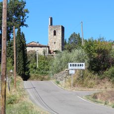
Talla, Italian comune
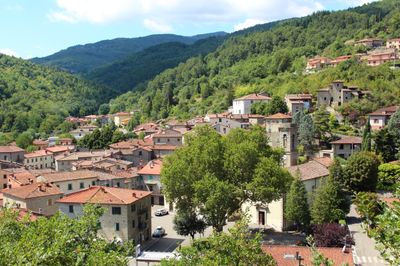
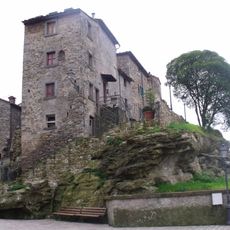
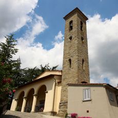
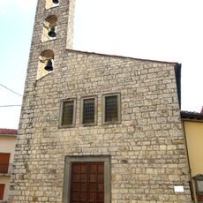
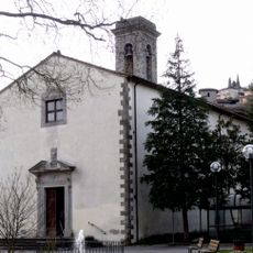
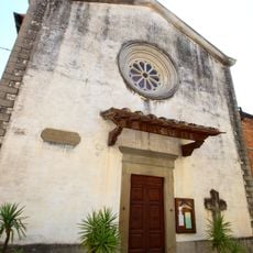
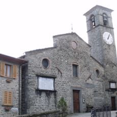
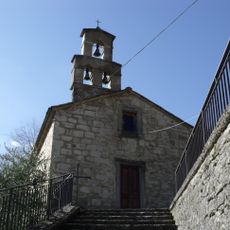
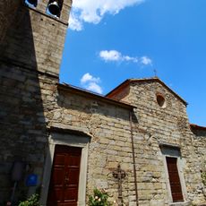
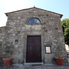
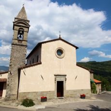
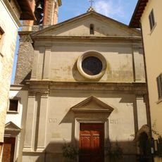
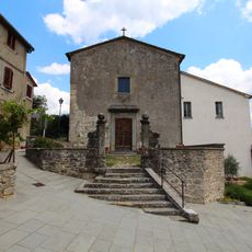
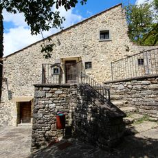
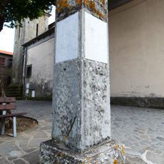
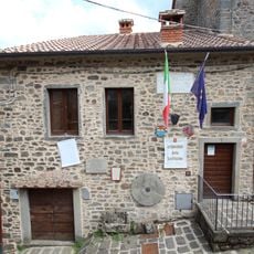
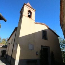
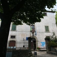
Talla is a small commune in the Province of Arezzo in Tuscany with around a thousand residents. The town sits on gentle hills surrounded by dense forests of oak, chestnut, and fir trees, featuring narrow winding streets and stone houses from various periods.
The area was settled in Etruscan times, as shown by archaeological finds dating back over two thousand years. Modern Talla took shape during the 1500s and developed through subsequent centuries under shifting rule by Arezzo and later Florence.
The name Talla comes from ancient Etruscan origins and reflects deep community roots in the region. Local people still gather for seasonal celebrations that feature traditional foods and crafts connected to the forest and agricultural rhythms.
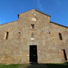
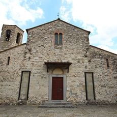
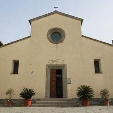
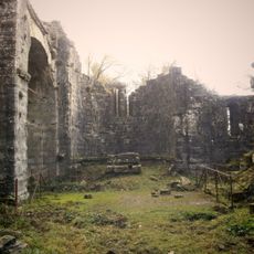
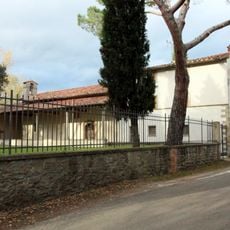
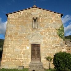
Visitors can find accommodation on local farms and in small guesthouses, many of which welcome pets. The best time to explore is in mild weather, and there are walking trails through the forests and to historical sites like the Abbey of Santa Trinita.
The place is linked to Guido Monaco, a significant figure born around 996 who invented modern musical notation still used today. A small museum in town preserves artifacts related to his revolutionary contribution to music history.
The community of curious travelers
AroundUs brings together thousands of curated places, local tips, and hidden gems, enriched daily by 60,000 contributors worldwide.