Tombolo, Italian comune
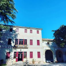
Tombolo is a commune in the Province of Padua, in the Veneto region of northeastern Italy. It sits in a flat plain and is made up of residential streets, small shops, and farming land spread across a compact territory.
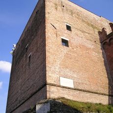
The name Tombolo may come from an old burial mound that once stood in this area during Venetian times, long before the modern settlement took shape. Over the centuries the place grew slowly around farming communities, following the rhythms of the surrounding plain.
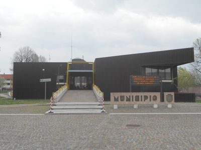
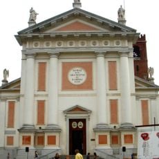
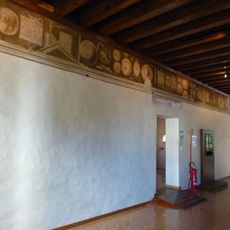
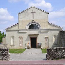
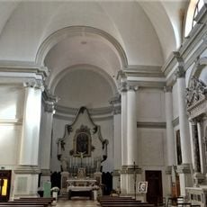
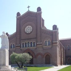
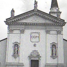
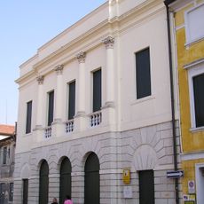
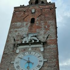
The Church of Sant'Andrea Apostolo, designed by architect Francesco Maria Preti, is the heart of community life and fills with locals during celebrations and religious events. On November 30, the residents, known as Tombolani, mark their patron saint's feast day with local food and small gatherings.
Tombolo is easy to reach by car and has access to train connections linking it to Padua and Venice. Exploring on foot is the most natural way to move around and take in the local streets and the church.
The name of this commune may be rooted in a burial mound now buried beneath everyday streets and houses. Visitors walking through the town are unknowingly standing above what could be a layer of ancient history from a civilization long gone.
The community of curious travelers
AroundUs brings together thousands of curated places, local tips, and hidden gems, enriched daily by 60,000 contributors worldwide.