
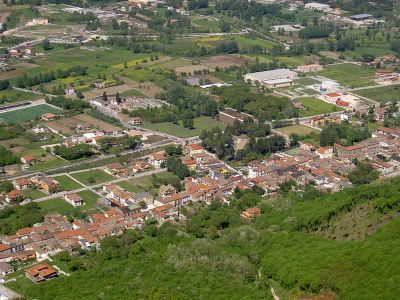
Paolisi, Italian comune
Location: Province Benevento
Capital city: Paolisi
Elevation above the sea: 270 m
Shares border with: Airola, Arpaia, Rotondi, Roccarainola
Website: http://comune.paolisi.bn.it
GPS coordinates: 41.03333,14.58333
Latest update: April 2, 2025 09:21
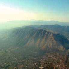
Taburnus
6.8 km
Partenio Regional Park
10.2 km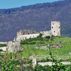
Castle of San Michele
7.3 km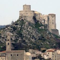
Castello di Montesarchio
6.3 km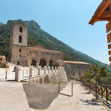
Sanctuary of the Virgin of Taburnus
6.4 km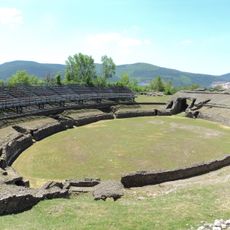
Avella Roman amphitheatre
8.1 km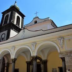
Duomo of Sant'Agata de' Goti
9.3 km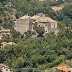
Castello Pignatelli della Leonessa
6.8 km
Abella
8.3 km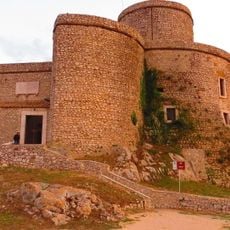
Torre di Montesarchio
4.8 km
National Archaeological Museum of Sannio Caudino
6.4 km
Castello di Sant'Agata de' Goti
9 km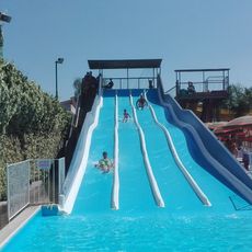
Acquapark Happy Days
10.7 km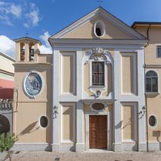
Chiesa della Santissima Concezione (Airola)
3.8 km
Chiesa dell'Annunziata
2.9 km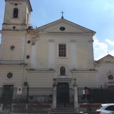
Chiesa dell'Annunziata
5.9 km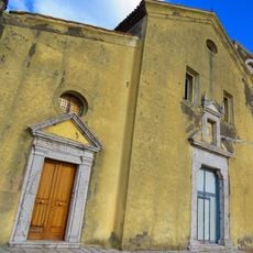
San Nicola
6.4 km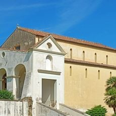
San Menna
9.1 km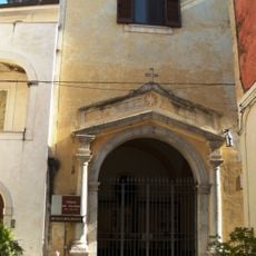
Museo Diocesano di Sant'Agata de' Goti
9.1 km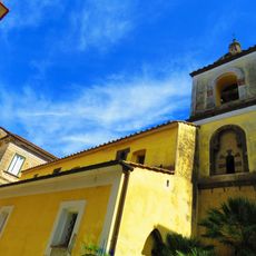
Sant'Angelo in Munculanis (Sant'Agata de' Goti)
9.1 km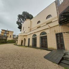
Castello di Sirignano
10 km
Ponte Nuovo (Vanvitelli)
5.1 km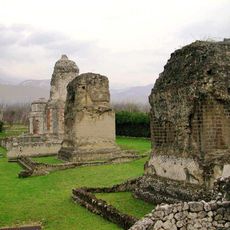
Monumenti funerari di Abella
8.3 km
Chiesa e convento di San Francesco
5.9 km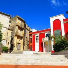
Biblioteca Comunale AmicoLibro
5.9 km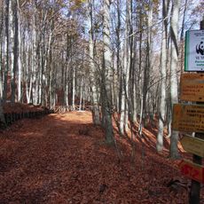
Montagna di Sopra
10.2 km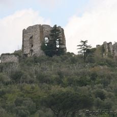
Castello di Airola
4.4 km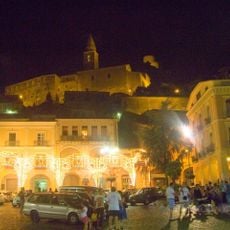
Piazza Umberto I, Montesarchio
6.2 kmVisited this place? Tap the stars to rate it and share your experience / photos with the community! Try now! You can cancel it anytime.
Discover hidden gems everywhere you go!
From secret cafés to breathtaking viewpoints, skip the crowded tourist spots and find places that match your style. Our app makes it easy with voice search, smart filtering, route optimization, and insider tips from travelers worldwide. Download now for the complete mobile experience.

A unique approach to discovering new places❞
— Le Figaro
All the places worth exploring❞
— France Info
A tailor-made excursion in just a few clicks❞
— 20 Minutes