
Stienta, Italian comune
Location: Province of Rovigo
Capital city: Stienta
Elevation above the sea: 9 m
Shares border with: Bagnolo di Po, Castelguglielmo, Ferrara, Fiesso Umbertiano, Gaiba, Occhiobello
Website: http://comune.stienta.ro.it
GPS coordinates: 44.93333,11.55000
Latest update: March 14, 2025 00:25
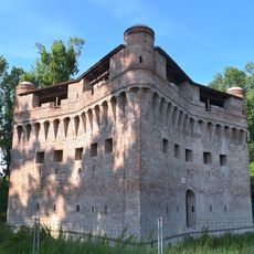
Rocca Possente
10.2 km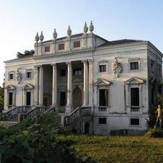
Villa Nani Mocenigo
11.6 km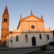
Basilica of St. Bellinus
11 km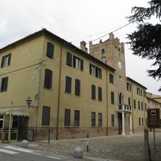
Pallazzo Diamantina
6.3 km
Villa Camerini-Bertelè-Bonfiglioli
2.1 km
Natività della Beata Vergine Maria
5.2 km
San Lorenzo
2.8 km
Sant'Antonino martire
9.3 km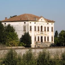
Villa Ca' Moro
8.1 km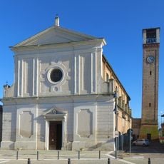
San Michele
11.8 km
San Giorgio
12.7 km
Natività di Maria Vergine in Stellata
10.2 km
Monastero di Santa Croce
12.2 km
Natività della Beata Vergine Maria
9.9 km
Santi Filippo e Giacomo
3 km
Villa Giglioli
9.4 km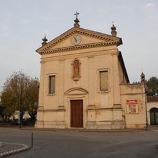
San Giuseppe
5.5 km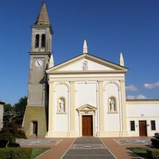
San Giovanni Battista
8.2 km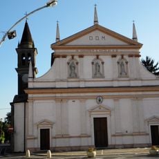
San Nicola da Bari
10.2 km
San Valentino
11.3 km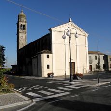
Santa Margherita, vergine e martire
10.6 km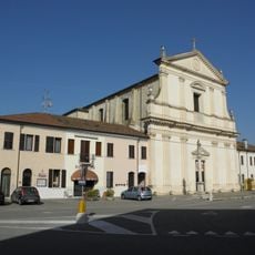
Santo Stefano
696 m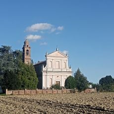
Chiesa della Conversione di San Paolo
5.9 km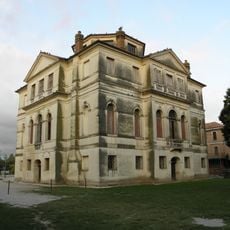
Villa Morosini Vendramin Calergi
5.4 km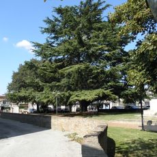
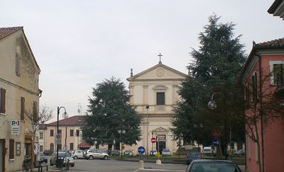
Cedro dell'Himalaya di Piazza Aldo Moro
5.2 km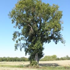
Olmo di Gorgo Dolfin
7 km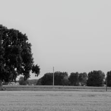
Farnia
8.4 km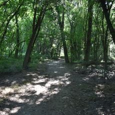
Bosco di Porporana
5.8 kmReviews
Visited this place? Tap the stars to rate it and share your experience / photos with the community! Try now! You can cancel it anytime.
Discover hidden gems everywhere you go!
From secret cafés to breathtaking viewpoints, skip the crowded tourist spots and find places that match your style. Our app makes it easy with voice search, smart filtering, route optimization, and insider tips from travelers worldwide. Download now for the complete mobile experience.

A unique approach to discovering new places❞
— Le Figaro
All the places worth exploring❞
— France Info
A tailor-made excursion in just a few clicks❞
— 20 Minutes