Agira, Italian comune
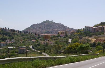
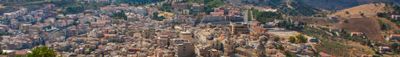
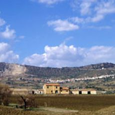
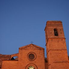
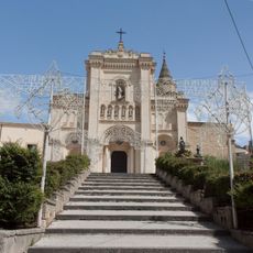
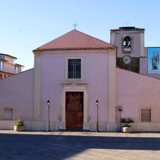
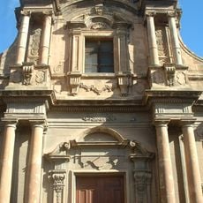
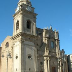
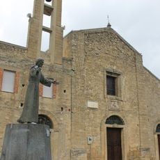
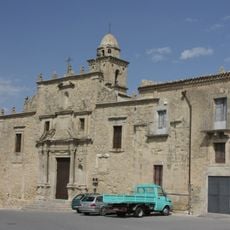
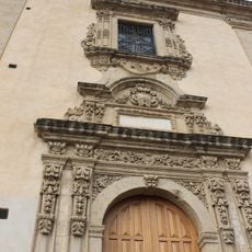
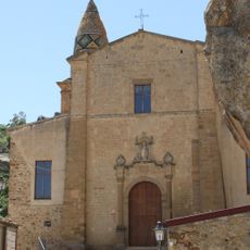
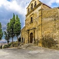
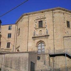
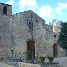
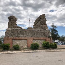
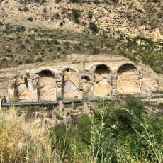
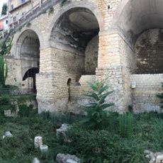
Agira is a commune in the province of Enna on Sicily, perched on a high hill and dominated by the ruins of a medieval castle. The town features narrow streets, scattered small churches, and historic ruins scattered across the hillside, with countryside views that include Lake Pozzillo and Mount Etna in the distance.
The Sicans were the earliest inhabitants of this area since the Paleolithic period, possibly with a leader named Agiride from whom the place takes its name. Medieval Arab rule shaped the town, and a major earthquake in 1693 damaged much of it, though the basic street pattern and layout remained largely unchanged.
The name Agira may derive from Agiride, a leader of the ancient Sicans. The narrow streets and layout of the old quarter, especially in Rocche Decimo, still reflect the Arab influence and the social structures that shaped community life centuries ago.
The best time to explore is early morning or late afternoon when the narrow streets are shaded and cooler. The location is hilly, so wear comfortable walking shoes and allow plenty of time for leisurely strolls to see the churches and enjoy views from the castle ruins.
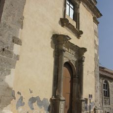
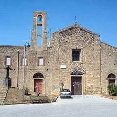
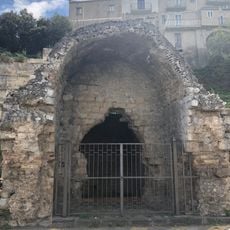
The Aron-Ha Qodesh Synagogue is considered one of Europe's oldest, dating to the 15th century, revealing a Jewish community that once thrived here. This religious site stands as a quiet testimony to a culture now gone, yet remains a vital part of the town's layered history.
The community of curious travelers
AroundUs brings together thousands of curated places, local tips, and hidden gems, enriched daily by 60,000 contributors worldwide.