
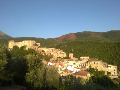
Prata Sannita, Italian comune
Location: Province of Caserta
Elevation above the sea: 360 m
Shares border with: Ailano, Ciorlano, Fontegreca, Gallo Matese, Letino, Pratella, Raviscanina, Valle Agricola
Website: http://comune.pratasannita.ce.it
GPS coordinates: 41.43333,14.20000
Latest update: March 15, 2025 18:56
Castello Pandone
15.1 km
Museo nazionale di Castello Pandone
14.3 km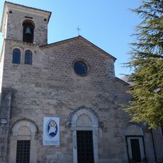
Venafro Cathedral
14.6 km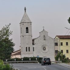
Basilica of San Nicandro, Venafro
13.3 km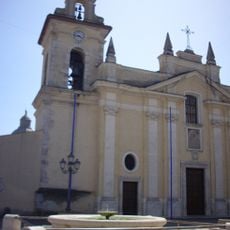
Alife Cathedral
15.8 km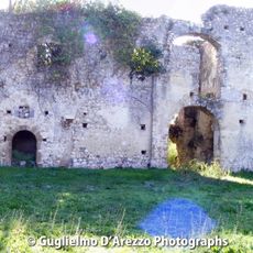
Santa Maria della Ferraria
7.9 km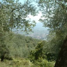
Parc agricole régional historique de l'olivier de Venafro
15.5 km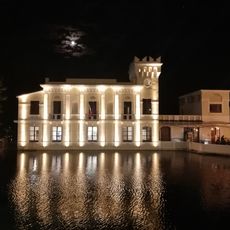
Palazzina Liberty
14.3 km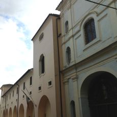
Archaeological Museum of Venafro
14.4 km
Venafrum amphitheatre
13.9 km
War Museum Winterline Venafro
14.2 km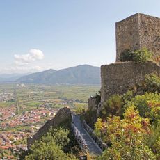
La Torricella
15.2 km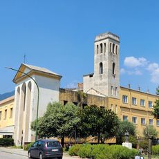
Museo Archeologico dell'Antica Allifae
16.2 km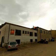
Museo Archeologico di Alife
16.3 km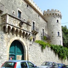
Castello Pignatelli
10.1 km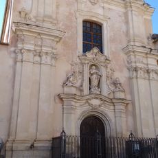
San Francesco
14.4 km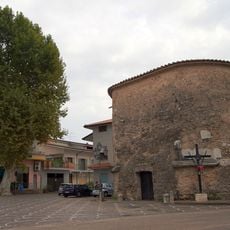
Mausoleum of the Acilii Glabriones
16.4 km
Chiesa di Santa Chiara
14.4 km
Cryptoporticus of Alife
16.1 km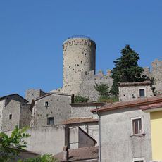
Torre di Roccapipirozzi
14 km
Castello di Sant'Agapito
12.6 km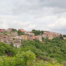
Borgo fortificato di Santa Maria Oliveto
12.8 km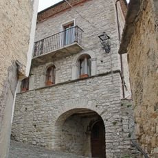
Castello
12.4 km
Castello
11.3 km
Sant'Eusanio
11.5 km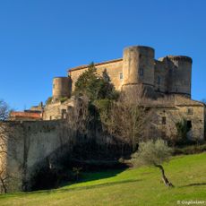
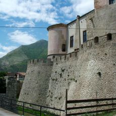
Castello Pandone
835 m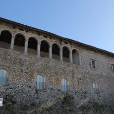
Palazzo Baronale
14.6 km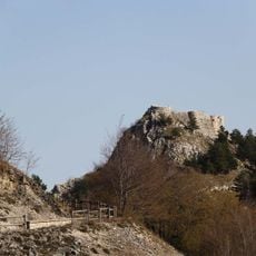
Castello
14.1 kmVisited this place? Tap the stars to rate it and share your experience / photos with the community! Try now! You can cancel it anytime.
Discover hidden gems everywhere you go!
From secret cafés to breathtaking viewpoints, skip the crowded tourist spots and find places that match your style. Our app makes it easy with voice search, smart filtering, route optimization, and insider tips from travelers worldwide. Download now for the complete mobile experience.

A unique approach to discovering new places❞
— Le Figaro
All the places worth exploring❞
— France Info
A tailor-made excursion in just a few clicks❞
— 20 Minutes