Roccamonfina, Italian comune
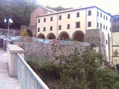
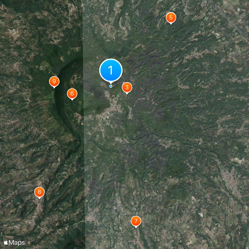
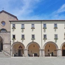
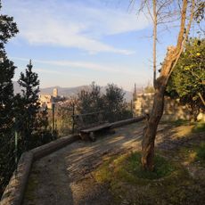
Roccamonfina is a small town in the Province of Caserta in Campania, located about 40 km (25 miles) north of Naples. The settlement spreads across a hilltop with narrow streets, stone buildings, and a medieval street pattern that remains largely intact.
The area was inhabited in ancient times and later became strategically important when a medieval fortress was built on the hill. Norman and subsequent rulers shaped its development through the centuries.
The name refers to the fortress that once dominated the hilltop and shaped the area's identity. The layout of the town and its buildings still reflect this medieval past.
The town is best explored on foot since the narrow streets are difficult to navigate by car. Visitors should wear sturdy shoes as the pathways are steep and paved with cobblestone.
Roccamonfina is also the name of an extinct volcano that rises above the area and dominates the landscape. This volcanic origin shapes the appearance of the hill and surrounding fields even today.
The community of curious travelers
AroundUs brings together thousands of curated places, local tips, and hidden gems, enriched daily by 60,000 contributors worldwide.