Colobraro

Log in to your account

AroundUs is a community-driven map of interesting places, built by curious explorers like you. It grows with every review, story, and photo you share.
Connect to save your favorite spots, contribute locations, and create personalized routes.
Continue with Google
Continue with Apple
Continue with X
Continue with Facebook
Continue with email
By continuing, you accept our Terms and Conditions and our Privacy Policy
Create an account
Add to collection
Map
Suggest a change
Share

Colobraro, Mountain settlement in Basilicata, Italy

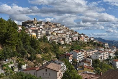
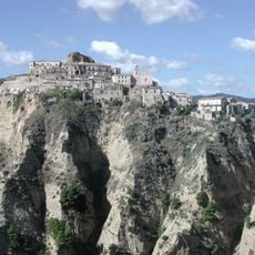
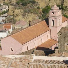
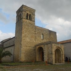
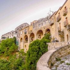
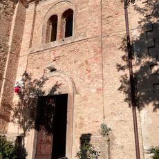
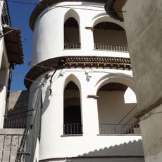
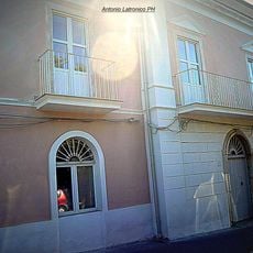
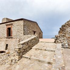
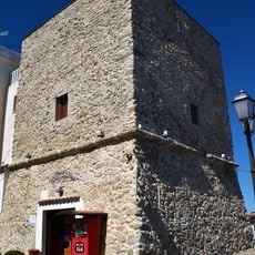
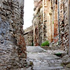
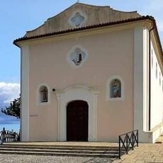
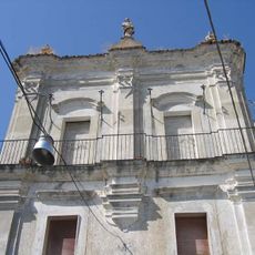
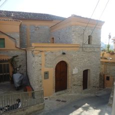
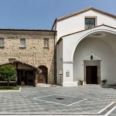
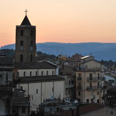
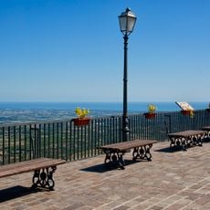
Colobraro is a settlement located at 630 meters elevation on the southern slopes of Mount Calvario, with views across the Sinni River valley toward the Ionian Sea. The town spreads across sloped terrain with narrow streets and older stone buildings characteristic of rural mountain communities.

The settlement's name comes from the Latin word 'coluber' meaning serpent, referencing the region's natural characteristics. It developed over centuries as an agricultural center in Matera province, with farming shaping the local way of life.

Residents use the local dialect name 'Chillu Paese' for their town, which reflects how people relate to their community in everyday conversation. This alternative name demonstrates the strong connection between the inhabitants and their heritage.

The settlement is about 80 kilometers from Matera and 130 kilometers from Potenza, and is most easily reached by car. The mountain location requires some drive time, but regular connections to neighboring towns including Valsinni, Tursi, and Rotondella help with access.

Local folklore holds that speaking the town's actual name brings misfortune, so residents rarely utter it directly. This unusual tradition reveals how deeply superstitious beliefs are woven into community life.

Location: province of Matera

Capital city: Colobraro

Elevation above the sea: 630 m

Shares border with: Rotondella, Sant'Arcangelo, Senise, Tursi, Valsinni, Noepoli

Website: http://comune.colobraro.mt.it

GPS coordinates: 40.18333,16.43333

Latest update: December 7, 2025 19:22

Photos
Reviews

Visited this place? Tap the stars to rate it and share your experience / photos with the community! Try now! You can cancel it anytime.

« Colobraro - Mountain settlement in Basilicata, Italy » is provided by Around Us (aroundus.com). Images and texts are derived from Wikimedia project under a Creative Commons license. You are allowed to copy, distribute, and modify copies of this page, under the conditions set by the license, as long as this note is clearly visible.

Discover hidden gems everywhere you go!

From secret cafés to breathtaking viewpoints, skip the crowded tourist spots and find places that match your style. Our app makes it easy with voice search, smart filtering, route optimization, and insider tips from travelers worldwide. Download now for the complete mobile experience.

Around Us App Screenshot

A unique approach to discovering new places

Le Figaro

All the places worth exploring

France Info

A tailor-made excursion in just a few clicks

20 Minutes