
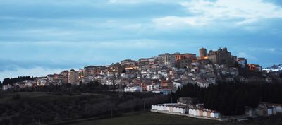
San Mauro Forte, Italian comune
Location: province of Matera
Capital city: San Mauro Forte
Elevation above the sea: 540 m
Shares border with: Craco, Ferrandina, Garaguso, Oliveto Lucano, Salandra, Stigliano, Accettura
Website: http://comune.sanmauroforte.mt.it
GPS coordinates: 40.48333,16.25000
Latest update: April 2, 2025 17:11
Parco Regionale di Gallipoli Cognato Piccole Dolomiti Lucane
12.4 km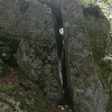
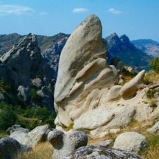
Petre de la Mola
8.9 km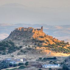
Uggiano Castle
15 km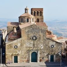
Chiesa madre di Santa Maria della Croce
17.6 km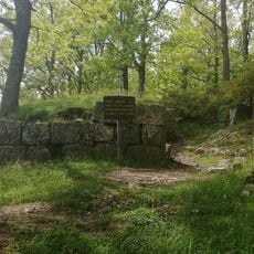
Croccia-Cognato
10.7 km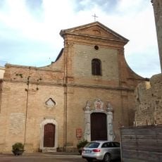
Chiesa Madre
435 m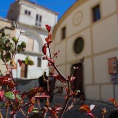
Sant'Antonio
8 km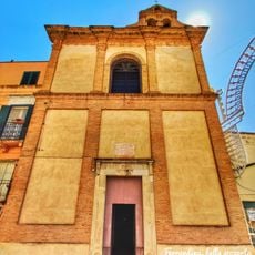
San Giuseppe church
17.3 km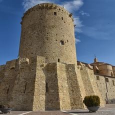
Medieval tower
415 m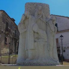
Monumento all'emigrante
7.9 km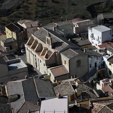
Madonna del Carmine church
17.2 km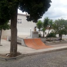
War memorial
12.7 km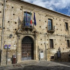
Buildings in San Mauro Forte
460 m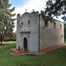
Cappella della Madonna del Monte
11.4 km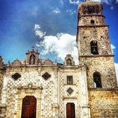
Sant'Antonio da Padova
9.2 km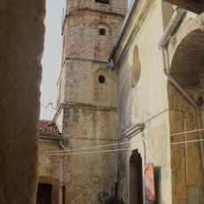
Chiesa dell'Annunziata
8.2 km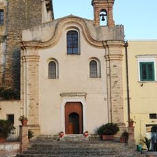
Addolorata church
17.6 km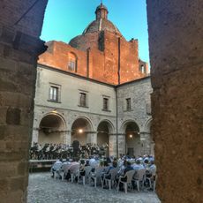
Santa Chiara church
17.4 km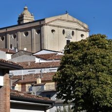
San Nicola
8 km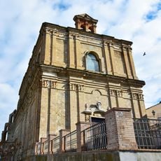
San Domenico church
17.5 km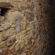
Vicolo Pozzo
8.1 km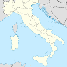
Parco Gallipoli Cognato Piccole Dolomiti Lucane
7.8 km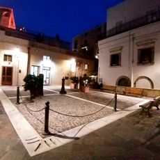
Mameli square
17.3 km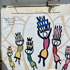
Il ballo delle Cente
7.9 km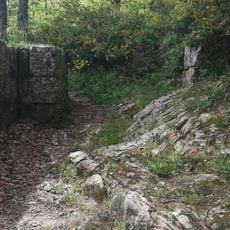
Fortified city of Croccia Cognato
10.6 km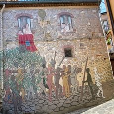
Il trasporto della Cima
7.9 km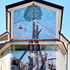
La scalata del Maggio
7.9 km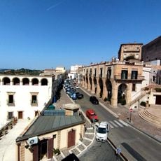
Vittorio Emanuele II street
17.4 kmVisited this place? Tap the stars to rate it and share your experience / photos with the community! Try now! You can cancel it anytime.
Discover hidden gems everywhere you go!
From secret cafés to breathtaking viewpoints, skip the crowded tourist spots and find places that match your style. Our app makes it easy with voice search, smart filtering, route optimization, and insider tips from travelers worldwide. Download now for the complete mobile experience.

A unique approach to discovering new places❞
— Le Figaro
All the places worth exploring❞
— France Info
A tailor-made excursion in just a few clicks❞
— 20 Minutes