
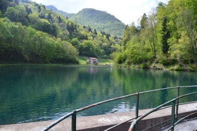
Mura, Italian comune
Location: Province of Brescia
Elevation above the sea: 691 m
Website: http://www.comune.mura.bs.it
Shares border with: Casto, Pertica Alta, Vestone
Website: http://comune.mura.bs.it
GPS coordinates: 45.71667,10.35000
Latest update: March 4, 2025 09:36
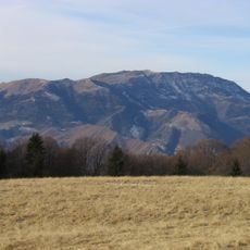
Monte Guglielmo
14.8 km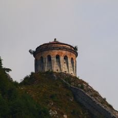
Rocca d'Anfo
13.4 km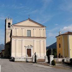
Chiesa di San Giovanni Battista
10.6 km
San Rocco
14.8 km
Basilica of Santa Maria degli Angeli
13.4 km
Saint George church
14.8 km
Saint Michael church
10.1 km
Santi Faustino e Giovita
13.5 km
Santa Maria Assunta Church
14.1 km
Church of Saints Cosmas and Damian
6 km
San Vigilio Church
5.9 km
Saints Peter and Paul church
12.3 km
Chiesa parrocchiale di San Bartolomeo Apostolo
7.3 km
Sant'Antonio Abate Church
3.5 km
Chiesa della Visitazione di Maria ad Elisabetta
4.3 km
Saint Sebastian church
9.4 km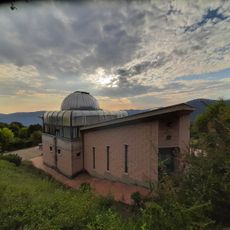
Lumezzane observatory
9.7 km
Santa Maria ad Undas church
8.7 km
Saints Gervasius and Protasius church
14 km
Torre Avogadro
10.3 km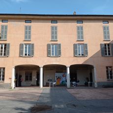
Museo delle Armi e della Tradizione Armiera di Gardone Val Trompia
13.2 km
Saint Anthony and Saint Philip Neri church
14.8 km
Saint Petronilla church
12.4 km
Pos de l'acqua
6.1 km
Chiesa di San Sebastiano
10 km
Saint Roch church
10.5 km
Santa Maria Assunta church
13.7 km
Rocca di Nozza
3.4 kmReviews
Visited this place? Tap the stars to rate it and share your experience / photos with the community! Try now! You can cancel it anytime.
Discover hidden gems everywhere you go!
From secret cafés to breathtaking viewpoints, skip the crowded tourist spots and find places that match your style. Our app makes it easy with voice search, smart filtering, route optimization, and insider tips from travelers worldwide. Download now for the complete mobile experience.

A unique approach to discovering new places❞
— Le Figaro
All the places worth exploring❞
— France Info
A tailor-made excursion in just a few clicks❞
— 20 Minutes