Castelsantangelo sul Nera, Italian comune
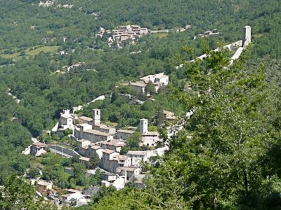
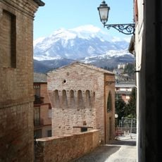
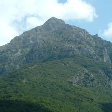
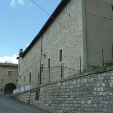
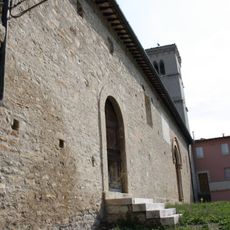
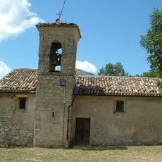
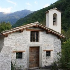
Castelsantangelo sul Nera is a small village in the province of Macerata, located within the Monti Sibillini National Park. The settlement has a triangular layout with a tall fortified tower and ancient stone gates, while cobblestone streets wind through narrow passages flanked by stone buildings with tile roofs.
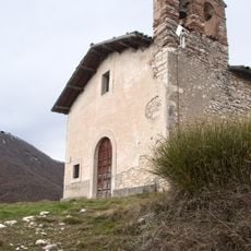
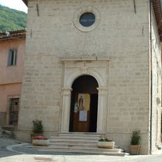
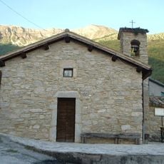
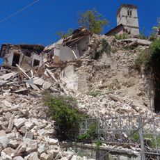
The settlement originated as a medieval fortress called Castrum Sancti Angeli more than a thousand years ago, built to defend local populations from attacks. A major earthquake in 2016 caused severe damage to many historic structures, and the community has been in reconstruction since.
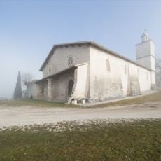
The town's name comes from Saint Michael the Archangel, the patron of the local area. Residents gather in old squares and narrow streets for daily life, and local festivals celebrate regional traditions with food prepared from nearby fields and forests.
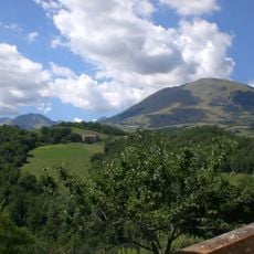
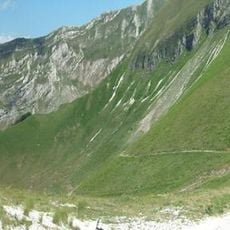
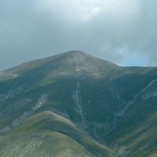
The village is accessible by car on well-maintained roads and serves as a starting point for exploring the surrounding national park on foot. There is a camper facility with parking spaces and utility connections, along with small shops and cafes where visitors can rest and enjoy refreshments.
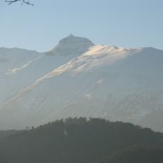
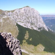
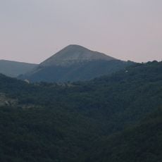
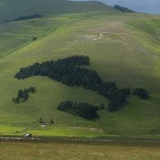
The source of the Nera River springs near the village in an area called Vallinfante at about 902 meters elevation. The area is also home to the Ecomuseum of the Deer, where visitors can observe these animals in a large fenced area after they had disappeared from the region for many years.
The community of curious travelers
AroundUs brings together thousands of curated places, local tips, and hidden gems, enriched daily by 60,000 contributors worldwide.