
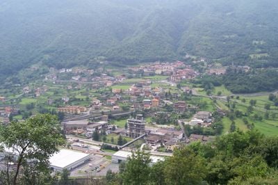
Sellero, Italian comune
Location: Province of Brescia
Capital city: Sellero
Elevation above the sea: 376 m
Shares border with: Berzo Demo, Capo di Ponte, Cedegolo, Paisco Loveno
Website: http://comune.sellero.bs.it
GPS coordinates: 46.05583,10.34778
Latest update: April 3, 2025 08:12
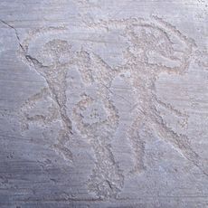
Rock drawings in Valcamonica
3.6 km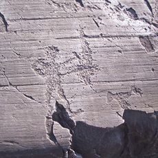
National Park of Rock Engravings of Naquane
3.2 km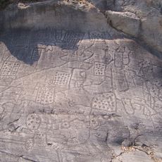
Parco archeologico comunale di Seradina-Bedolina
2.6 km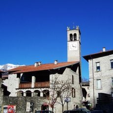
Rock art Natural reserve of Ceto, Cimbergo and Paspardo
2.8 km
Monastero di San Salvatore
1.9 km
Pieve of Saint Syrus
2.8 km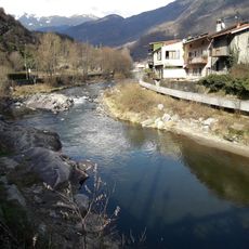
National Museum of Prehistory of Valle Camonica
2.8 km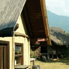
Museo didattico di arte e vita preistorica della Val Camonica
2.8 km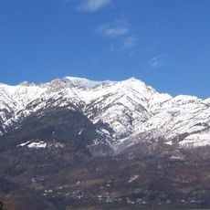
Monte Elto
3.8 km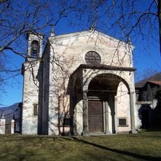
Sante Faustina e Liberata Church
2.6 km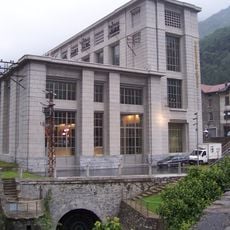
Museo dell'energia idroelettrica di Valcamonica
2.2 km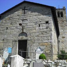
Chiesa di San Sisto
3.1 km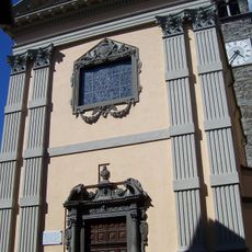
Chiesa di San Girolamo
2.5 km
Chiesa di San Desiderio
423 m
Santa Maria Assunta Church
357 m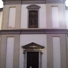
Chiesa di Sant'Alessandro Martire
4.6 km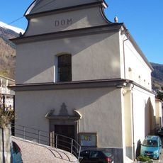
Chiesa di Sant'Eusebio
4.3 km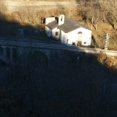
San Rocco Church
2.2 km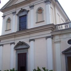
San Martino Church
2.8 km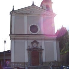
San Paterio Church
5.1 km
Chiesa di San Lorenzo Martire
3.6 km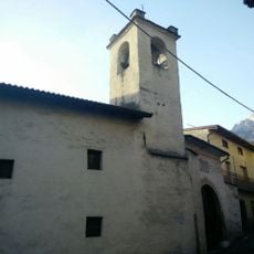
San Bartolomeo degli Umiliati
3 km
Chiesa di San Vigilio
3.3 km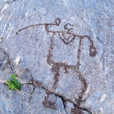
Parco comunale archeologico e minerario di Sellero
517 m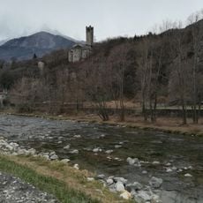
Seradina-Bedolina Municipal Archaelogical Park
2.6 km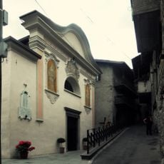
Santi Vito, Modesto e Crescenzia Martiri Church
3.1 km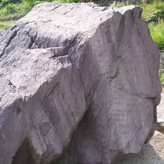
Cemmo National Archaeological Park
2.9 km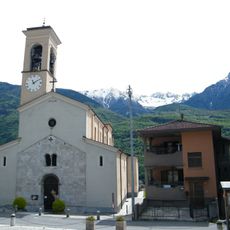
Santo Stefano Church
3.2 kmVisited this place? Tap the stars to rate it and share your experience / photos with the community! Try now! You can cancel it anytime.
Discover hidden gems everywhere you go!
From secret cafés to breathtaking viewpoints, skip the crowded tourist spots and find places that match your style. Our app makes it easy with voice search, smart filtering, route optimization, and insider tips from travelers worldwide. Download now for the complete mobile experience.

A unique approach to discovering new places❞
— Le Figaro
All the places worth exploring❞
— France Info
A tailor-made excursion in just a few clicks❞
— 20 Minutes