Parco archeologico comunale di Seradina-Bedolina, Archaeological park in Capo di Ponte, Italy.
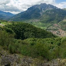
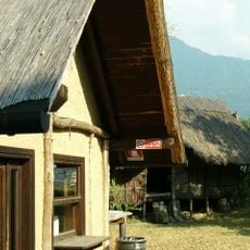
The Parco archeologico comunale di Seradina-Bedolina occupies about 6 hectares on a terrace at 530 metres on the right bank of the Oglio in Val Camonica. It protects more than 170 engraved rocks, mainly from the Copper and Iron Ages, and includes the Battista Maffessoli collection of letters, photographs and 70 plaster casts in the Cascina Vecchia. The Strada della Greppa crosses the site and links its five marked routes.
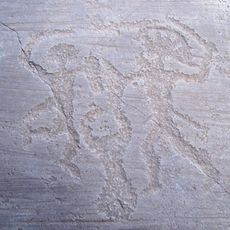
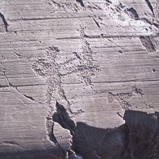
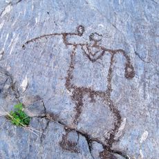
The rock carvings were created during the Bronze and Iron Ages with patterns dating back to the early first millennium BC. The layers of engravings show how representations and techniques changed over many generations.
The park's five colour-coded routes take their names from their themes: the red path is called "della Caccia e dell'Aratura" (of hunting and ploughing), while the blue one is the "percorso delle Mappe" (route of the maps). Rock 21 shows warriors, horsemen, a hut and an inscription in the Roman alphabet; rock 7 at Bedolina depicts deer with solar antlers pursued by dogs.
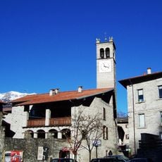
The park is most easily reached from Capo di Ponte, with a visitor center at Via Pieve di San Siro offering guidance and information. Some paths are steep and require good footwear, and visitors should allow time to explore all the rock surfaces carefully.
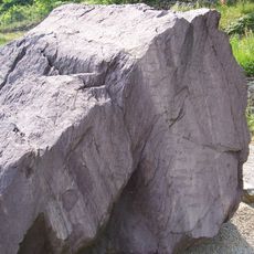
Rock number 1, known as the Bedolina Map, measures 9 meters long by 4 meters wide and holds 109 carved figures, making it one of the earliest attempts to map a landscape topographically. This single rock surface is packed with geometric patterns and figures from different time periods layered on top of each other.
The community of curious travelers
AroundUs brings together thousands of curated places, local tips, and hidden gems, enriched daily by 93,941 contributors worldwide.