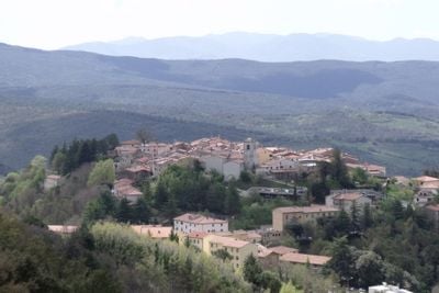
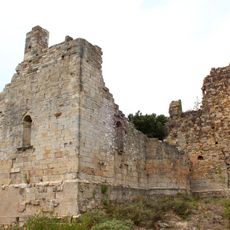
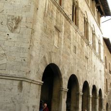
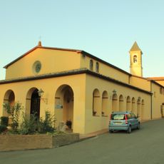
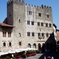
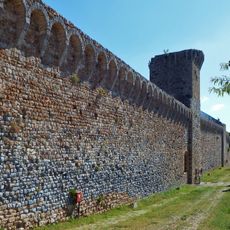
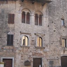
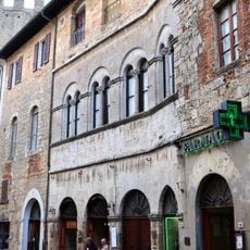
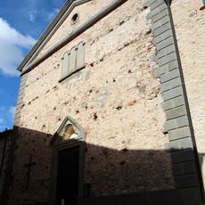
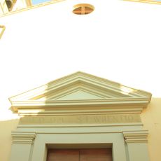
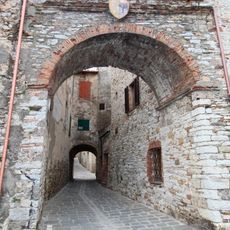
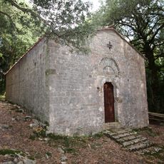
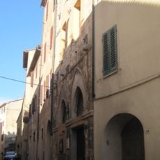
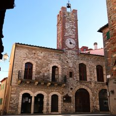
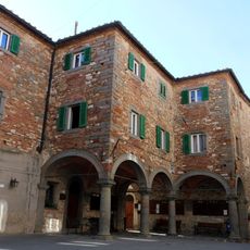
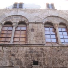
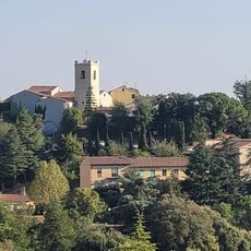
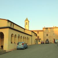
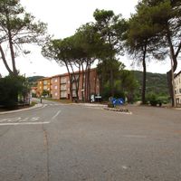
Monterotondo Marittimo, Italian comune
Location: Province of Grosseto
Capital city: Monterotondo Marittimo
Elevation above the sea: 539 m
Shares border with: Castelnuovo di Val di Cecina, Monteverdi Marittimo, Montieri, Suvereto, Massa Marittima, Pomarance
Website: http://comune.monterotondomarittimo.gr.it
GPS coordinates: 43.14611,10.85556
Latest update: March 27, 2025 17:40
Parco naturalistico delle Biancane
809 m
San Pietro in Palazzuolo
9.9 km
Palazzo Malfatti
11 km
Madonna del Frassine
7.9 km
Château de Monteregio
10.8 km
Palazzo del Comune
11 km
San Francesco
10.7 km
Citywalls of Massa Marittima
10.8 km
Madonna del Libro
5.4 km
Palazzina dei conti di Biserno
11 km
Palazzo Pannocchieschi
10.9 km
Palazzo Albizzeschi
10.9 km
San Bartolomeo
5.2 km
San Bartolomeo
2.6 km
San Lorenzo
28 m
Defensive walls of Monterotondo Marittimo
86 m
Santa Croce
5.3 km
Palazzina della Zecca
11 km
Palazzo Comunale
60 m
Palazzo Bandini
11 km
San Michele
10.8 km
San Martino
6.1 km
Maria Santissima di Montenero
6 km
Fumarole e Putizze
2.4 km
Madonna di Montenero
3 km
Palazzo delle Logge
74 m
Casa Fedi
10.8 km
MUBIA
610 mReviews
Visited this place? Tap the stars to rate it and share your experience / photos with the community! Try now! You can cancel it anytime.
Discover hidden gems everywhere you go!
From secret cafés to breathtaking viewpoints, skip the crowded tourist spots and find places that match your style. Our app makes it easy with voice search, smart filtering, route optimization, and insider tips from travelers worldwide. Download now for the complete mobile experience.
A unique approach to discovering new places❞
— Le Figaro
All the places worth exploring❞
— France Info
A tailor-made excursion in just a few clicks❞
— 20 Minutes