Enable Location

We need your location to show you interesting places around you

Discover nearby places

Find interesting locations and hidden gems around you

Precise directions

Get accurate directions and distances to places

Your location is never shared with other users. It's only used when you tap the location button.

Franzensfeste

Log in to your account

Start exploring — it's free

Trusted by 62,934 travelers worldwide

Continue with Google
Continue with Apple
or

We will send you a code to connect

By continuing, you accept our Terms and Conditions and our Privacy Policy

Check your inbox

We've sent a pincode in your inbox. Please enter the code below.

Discussion Reviews 3 Photos
28.1k Popularity

Franzensfeste, Municipality in South Tyrol, Italy

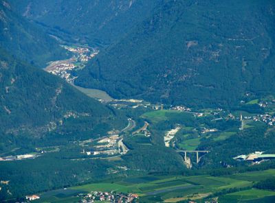
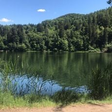
Franzensfeste is a municipality in South Tyrol situated along the Eisack river valley in the southern Wipptal region. The settlement lies approximately 19 kilometers south of Sterzing at an elevation of 749 meters and benefits from railway connectivity to surrounding areas.

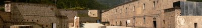
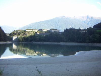
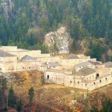
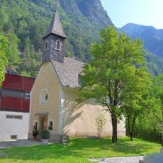
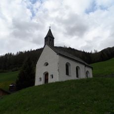
Emperor Francis I of Austria initiated construction of Franzensfeste Fortress in 1833 as a strategic defense structure for the Alpine region. The fortification later converted to serve as an ammunition storage facility, marking a shift in its military purpose.

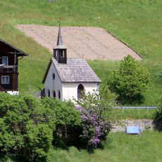
The name comes from Emperor Francis I of Austria, reflecting the region's historical ties to Habsburg rule that remain visible in local identity today. The predominantly German-speaking population shapes daily life, while Italian and Ladin influences add layers of cultural richness.

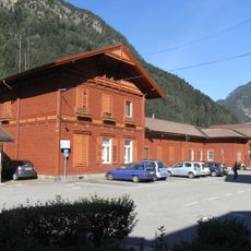
A railway station has connected the town since 1867 to major urban centers, making north-south travel and access to the Puster Valley straightforward. Its location in the Eisack valley provides good conditions for visitors exploring the region.

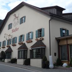
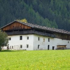
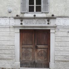
Archaeological finds show that people have inhabited this area since around 2500 BCE, revealing one of the oldest patterns of settlement in the valley. The Post-Reifer inn, continuously operating since the 17th century, stands as evidence of this deep human history.

The community of curious travelers

AroundUs brings together thousands of curated places, local tips, and hidden gems, enriched daily by 60,000 contributors worldwide.

Start exploring
Location
Capital city
Franzensfeste
Elevation above the sea
749 m
Shares border with
Mühlbach, Sarntal, Freienfeld, Natz-Schabs, Vahrn
GPS coordinates
46.78685,11.61245
Latest update
December 20, 2025 12:59
Reviews
Share your experience

No review yet

Discussions
Start a discussion...

No discussion yet

« Franzensfeste - Municipality in South Tyrol, Italy » is provided by Around Us (aroundus.com). Images and texts are derived from Wikimedia project under a Creative Commons license. You are allowed to copy, distribute, and modify copies of this page, under the conditions set by the license, as long as this note is clearly visible.

Discover hidden gems everywhere you go!

From secret cafés to breathtaking viewpoints, skip the crowded tourist spots and find places that match your style. Our app makes it easy with voice search, smart filtering, route optimization, and insider tips from travelers worldwide. Download now for the complete mobile experience.

Around Us App Screenshot

A unique approach to discovering new places

Le Figaro

All the places worth exploring

France Info

A tailor-made excursion in just a few clicks

20 Minutes

Around Us
Travel Guide & Maps
Download

Send to your phone

QR Code
1

Open the camera app on your mobile.

2

Point at the QR code with your camera. A notification will appear.

3

Tap the notification to open the link.