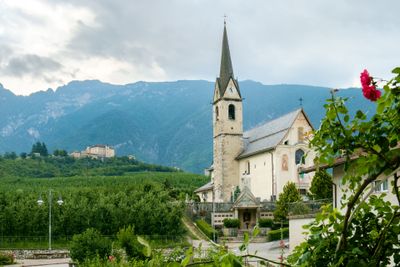
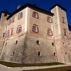
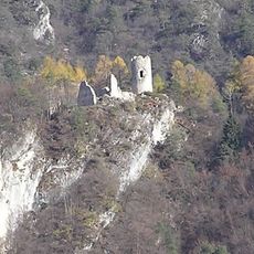
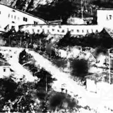
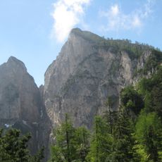
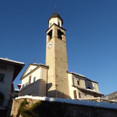
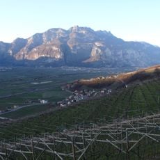
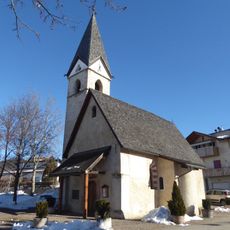
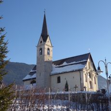
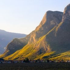
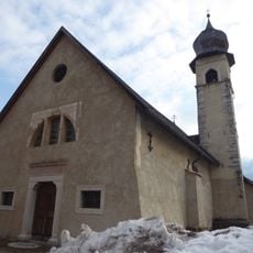
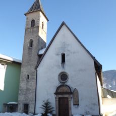
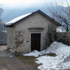
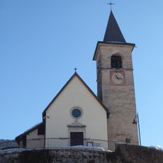
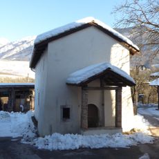
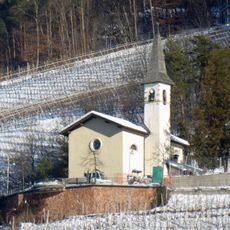
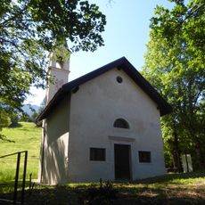
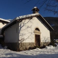
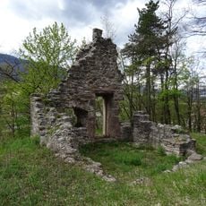
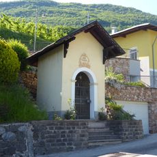
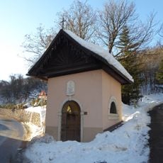
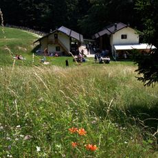
Ton, Italian comune
Location: Trentino
Elevation above the sea: 482 m
Shares border with: Campodenno, Kurtatsch an der Weinstraße, Denno, Mezzocorona, Mezzolombardo, Roveré della Luna, Spormaggiore, Sporminore, Predaia
Website: http://comune.ton.tn.it
GPS coordinates: 46.26667,11.08333
Latest update: March 6, 2025 23:35
Castel Thun
925 m
Castel San Pietro
2.2 km
Via ferrata Burrone Giovanelli
4.3 km
Fort Rocchetta
3.8 km
Rocca Piana
4 km
Santa Maria Assunta
383 m
Monticello
3.5 km
San Marcello
2.2 km
Saint Nicholas church
1.1 km
Biotopo La Rocchetta
3.1 km
Saint Agnes church
2.6 km
Saint Giles church
2.8 km
Saint Peter chapel
2.5 km
Saint Michael church
2.6 km
Castel Rocchetta
4.1 km
Saint Michael church
2.2 km
Saints Fabian and Sebastian church
2.6 km
Saint Martin church
1.1 km
Saint Vigilius church
295 m
Our Lady of Sorrows chapel
422 m
Sacred Heart of Jesus chapel
575 m
Saint John of Nepomuk chapel
873 m
Our Lady of Sorrows chapel
3.3 km
Saint Margaret church
3.5 km
Our Lady chapel
2.3 km
Our Lady of Graces chapel
189 m
Malga Kraun
4.8 km
Calchera del Monte di Mezzocorona
5 kmReviews
Visited this place? Tap the stars to rate it and share your experience / photos with the community! Try now! You can cancel it anytime.
Discover hidden gems everywhere you go!
From secret cafés to breathtaking viewpoints, skip the crowded tourist spots and find places that match your style. Our app makes it easy with voice search, smart filtering, route optimization, and insider tips from travelers worldwide. Download now for the complete mobile experience.
A unique approach to discovering new places❞
— Le Figaro
All the places worth exploring❞
— France Info
A tailor-made excursion in just a few clicks❞
— 20 Minutes