Velletri, Administrative division in Metropolitan City of Rome, Italy
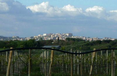
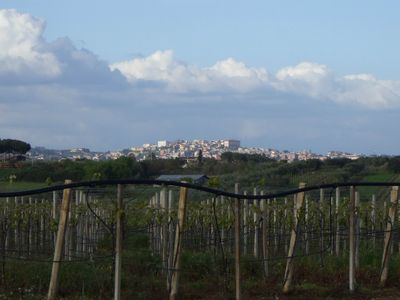
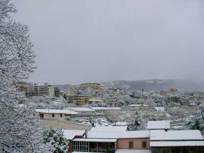
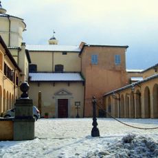
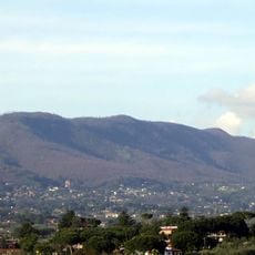
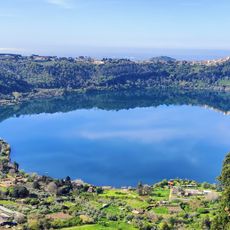
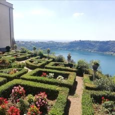
Velletri sits on the hills of the Alban range at around 330 meters elevation, between the northern slopes and the southern plains toward the Pontine marshland. The town spreads across gently falling terrain with streets that link the elevation differences through winding lanes and broader avenues, surrounded by vineyards and olive groves.
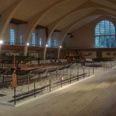
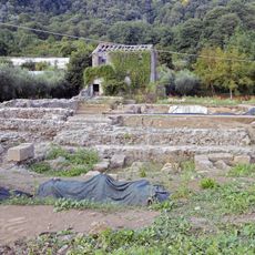
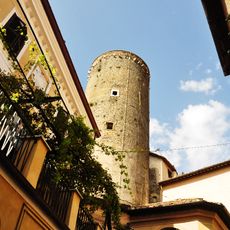
The settlement began in ancient times as Velitrae and gave rise to the Octavii family, from which Emperor Augustus descended. During the medieval period the place developed into a free commune with its own administration, defending its independence across the centuries.
The local grape harvest festival in October shows the agricultural rhythm of this town, where wine growing and olive groves still play an important role today. The Saint Clemente festival in November combines religious processions with traditional markets that draw visitors from across the region and shape the calendar of the town.
The town is connected to Rome by a railway line that provides regular links to the capital. Visitors find here courts, schools and other public facilities that shape its character as a regional administrative center.
The local dialect differs noticeably from neighboring communes in the Castelli Romani and contains influences from central-northern Lazio as well as Neapolitan sounds. This linguistic trait shows up in daily life at markets and in conversations among older residents who preserve traditional expressions.
The community of curious travelers
AroundUs brings together thousands of curated places, local tips, and hidden gems, enriched daily by 60,000 contributors worldwide.