
Galliera, Italian comune
Location: Metropolitan City of Bologna
Elevation above the sea: 14 m
Shares border with: Malalbergo, Poggio Renatico, Terre del Reno, Pieve di Cento, San Pietro in Casale
Website: http://comune.galliera.bo.it
GPS coordinates: 44.75000,11.40000
Latest update: March 4, 2025 07:31
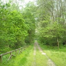
Bosco della Panfilia
3.7 km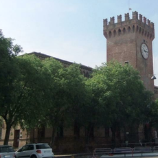
Castello Lambertini
6.9 km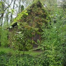
Casone del partigiano
8.4 km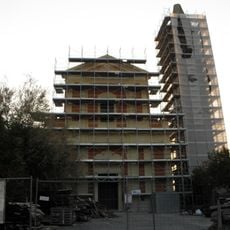
Chiesa di Santa Maria del Carmine
670 m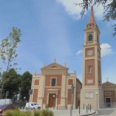
Church of Sant'Agostino, Ferrara
4.9 km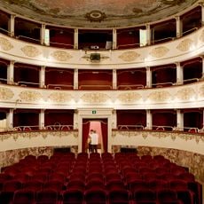
Teatro comunale Alice Zeppilli
8.4 km
Santi Pietro e Paolo
5.6 km
Church of the Holy Trinity
8.2 km
Chiesa di San Martino di Tours
7.8 km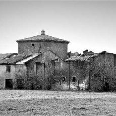
Torre Cocenno
5.1 km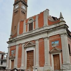
San Paolo
9.7 km
Palazzo Sessa Aldrovandi
9.2 km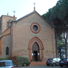
Chiesa di San Giovanni Battista
11.8 km
Sant'Antonio Abate Church
11 km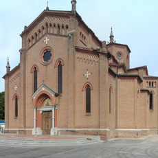
Chiesa di San Michele Arcangelo
7 km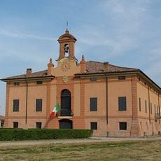
Museo della civiltà contadina "Rodolfo e Luigi Sessa"
9.2 km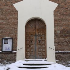
Santa Chiara
8.3 km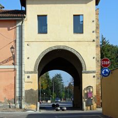
Porta Ferrara
8.3 km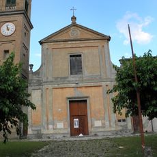
Chiesa dei Santi Simone e Giuda di Rubizzano
7.2 km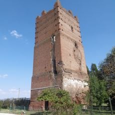
Torre dell'Uccellino
12.9 km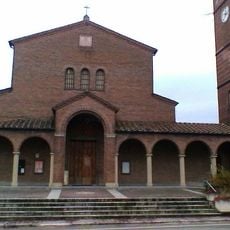
Chiesa di Sant'Antonio
11 km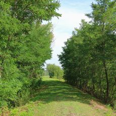
Oasi La Rizza
10.4 km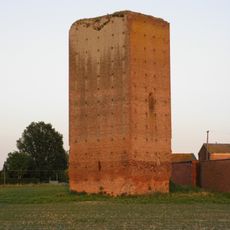
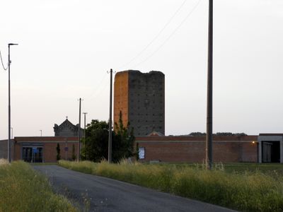
Torre di Galliera
810 m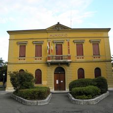
Villa Padoa
5.3 km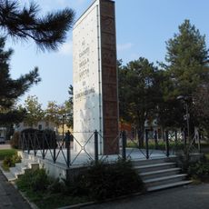
Monumento a tutti i Caduti delle guerre
11.7 km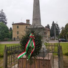
World War I fallen's memorial
7.1 km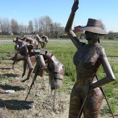
Rotonda delle Mondine
6.9 km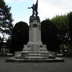
Monumento ai caduti
5.5 kmReviews
Visited this place? Tap the stars to rate it and share your experience / photos with the community! Try now! You can cancel it anytime.
Discover hidden gems everywhere you go!
From secret cafés to breathtaking viewpoints, skip the crowded tourist spots and find places that match your style. Our app makes it easy with voice search, smart filtering, route optimization, and insider tips from travelers worldwide. Download now for the complete mobile experience.

A unique approach to discovering new places❞
— Le Figaro
All the places worth exploring❞
— France Info
A tailor-made excursion in just a few clicks❞
— 20 Minutes