
Antegnate, Italian comune
Location: Province of Bergamo
Capital city: Antegnate
Elevation above the sea: 112 m
Shares border with: Barbata, Fontanella, Calcio, Covo
Website: http://comune.antegnate.bg.it
GPS coordinates: 45.48528,9.78889
Latest update: March 5, 2025 16:44

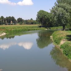
Parco del Serio
6.8 km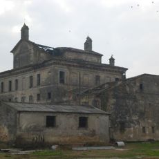
Villa Obizza
7.8 km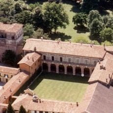
Palazzo Barbò
8.1 km
Visconti Rocca
4.9 km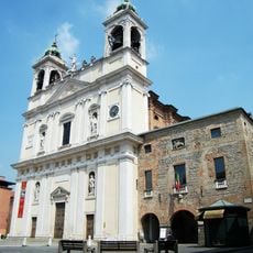
Chiesa di Santa Maria Assunta e San Giacomo Maggiore
4.7 km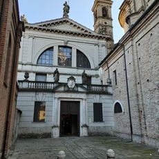
San Defendente Church
4.7 km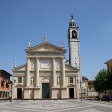
Santi Filippo e Giacomo
2.3 km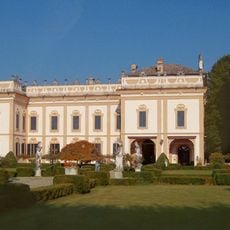
Villa Griffoni Sant'Angelo
6.1 km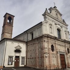
Pieve di San Vittore
5.7 km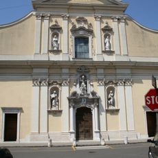
Chiesa di San Nicolò
8.6 km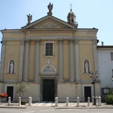
Chiesa di Sant'Alessandro
5.9 km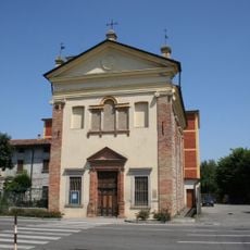
Santa Maria ad Nives Church
4.3 km
San Michele Arcangelo Church
94 m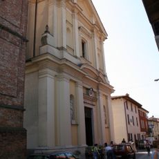
Chiesa dei Santi Gervasio e Protasio
7.1 km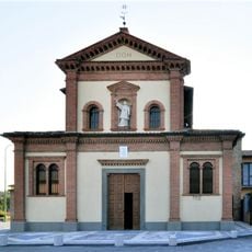
San Lorenzo Church
4.8 km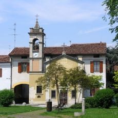
San Defendino Church
4.5 km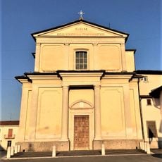
Santo Stefano
3.3 km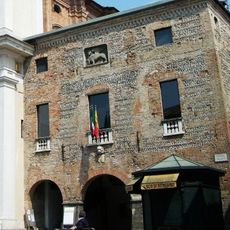
Palazzo della Ragione
4.7 km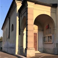
Chiesa della Beata Vergine Addolorata
3.3 km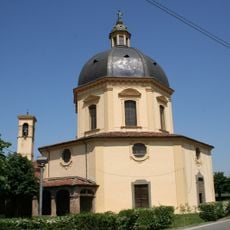
Santuario della Madonna della Rotonda
6 km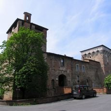
Museo della Memoria della comunità
4.9 km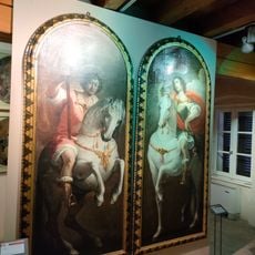
Museo d'arte e cultura sacra
4.6 km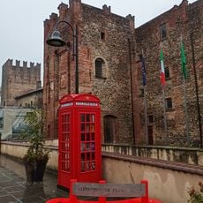
Castello Barbò
6.5 km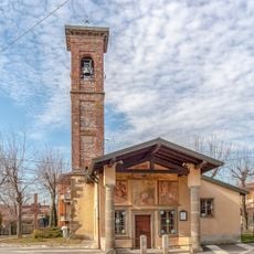
Chiesa di Santa Margherita
8.3 km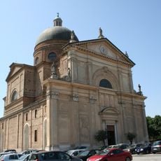
San Vittore
5.3 km
Cividate al Piano Castle
8.7 km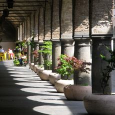
Architectural elements in Romano di Lombardia
4.7 km
Palazzo Rubini
4.8 kmVisited this place? Tap the stars to rate it and share your experience / photos with the community! Try now! You can cancel it anytime.
Discover hidden gems everywhere you go!
From secret cafés to breathtaking viewpoints, skip the crowded tourist spots and find places that match your style. Our app makes it easy with voice search, smart filtering, route optimization, and insider tips from travelers worldwide. Download now for the complete mobile experience.

A unique approach to discovering new places❞
— Le Figaro
All the places worth exploring❞
— France Info
A tailor-made excursion in just a few clicks❞
— 20 Minutes