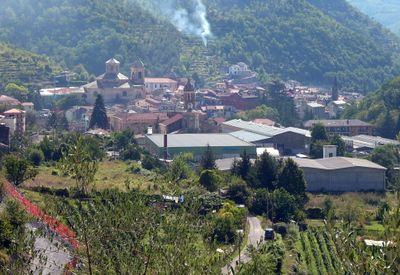
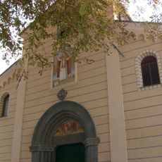
Pieve di Teco, Medieval commune in Liguria, Italy.
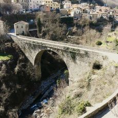
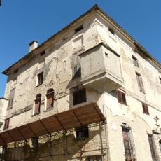
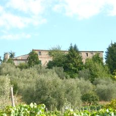
Pieve di Teco is a medieval settlement in the Province of Imperia that sits at 240 meters elevation along the Arroscia Valley with stone buildings and narrow passageways. Multiple neighborhoods connect through these tight streets, creating a traditional hillside layout typical of this region.
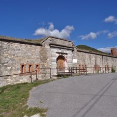
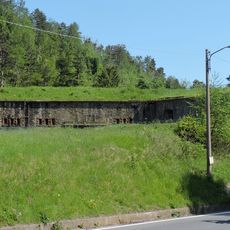
Founded in the 13th century by the Republic of Genoa, this settlement became a key trading point between the Ligurian coast and Piedmont. This strategic location shaped its development for centuries and remains central to understanding its layout.
The local dialect spoken here differs from standard Ligurian and shows how mountain communities developed their own speech patterns over time. This linguistic identity remains visible in daily conversations and local interactions throughout the settlement.
The settlement is accessible by regular bus services from Imperia with connections to major cities like Genoa and Nice. Walking through narrow streets and uneven ground is the main way to explore the town, so comfortable shoes are essential.
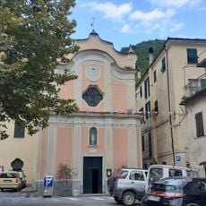
The main street features preserved medieval porticoes that once sheltered merchants from the elements and remain a rare architectural feature in this area. These covered walkways still define the street's character today and give visitors a sense of how commerce functioned in medieval times.
Location: Province of Imperia
Capital city: Pieve di Teco
Elevation above the sea: 240 m
Shares border with: Aurigo, Borgomaro, Caprauna, Caravonica, Pornassio, Rezzo, Vessalico, Armo, Cesio, Borghetto d'Arroscia
Website: http://comune.pievediteco.im.it
GPS coordinates: 44.04800,7.91600
Latest update: December 20, 2025 01:17
Rocca delle Penne
6.3 km
Madonna della Ripa
206 m
San Dalmazzo
4.6 kmCampasso - Grotta Sgarbu Du Ventu
5.1 km
Ponte di Lavina
2.5 kmStrade di pietra
2.5 km
Forte Bellarasco
4.8 km
Palazzo dei marchesi di Clavesana
4.4 kmMuseo diocesano di arte sacra "Alta Valle Arroscia"
179 mComplesso della Madonna della Ripa
19 m
Forte Centrale
5.3 km
Castello dei marchesi Scarella
4.8 kmComplesso ex -convento delle Agostiniane - ex-caserma Manfredi
206 mMuseo delle maschere di Ubaga
206 mMuseo territorio "I volti dell'Ubagu"
140 m
Immacolata Concezione
324 mMonte Bellarasco
4.8 kmPoggio Alto
3.4 kmCastle of Armo
5.1 km
Forte Pozzanghi
5.7 kmGli Animali del Bosco: il Fungo
7.8 kmGli Animali del Bosco: il Cane
7.9 kmScenic viewpoint
5.1 kmCascate Bastia
7.3 kmCastello di Teco
1 kmScenic viewpoint
1.6 kmScenic viewpoint
5.9 kmScenic viewpoint
5.2 kmVisited this place? Tap the stars to rate it and share your experience / photos with the community! Try now! You can cancel it anytime.
Discover hidden gems everywhere you go!
From secret cafés to breathtaking viewpoints, skip the crowded tourist spots and find places that match your style. Our app makes it easy with voice search, smart filtering, route optimization, and insider tips from travelers worldwide. Download now for the complete mobile experience.
A unique approach to discovering new places❞
— Le Figaro
All the places worth exploring❞
— France Info
A tailor-made excursion in just a few clicks❞
— 20 Minutes