Enable Location

We need your location to show you interesting places around you

Discover nearby places

Find interesting locations and hidden gems around you

Precise directions

Get accurate directions and distances to places

Your location is never shared with other users. It's only used when you tap the location button.

Antrodoco

Log in to your account

Start exploring — it's free

Trusted by 63,635 travelers worldwide

Continue with Google
Continue with Apple
or

We will send you a code to connect

By continuing, you accept our Terms and Conditions and our Privacy Policy

Check your inbox

We've sent a pincode in your inbox. Please enter the code below.

Discussion Reviews 2 Photos
19.9k Popularity

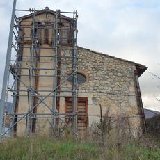
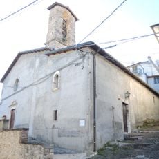
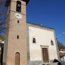
Antrodoco, Italian comune

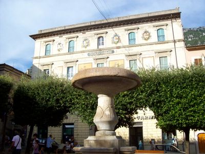
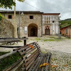
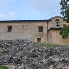
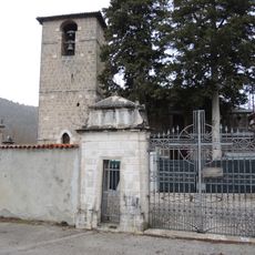
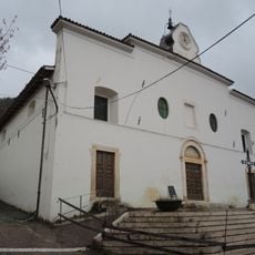
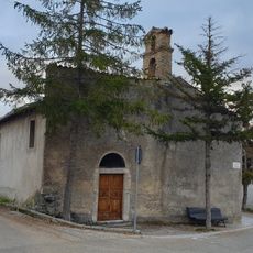
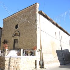
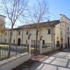
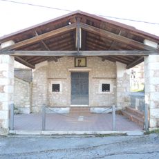
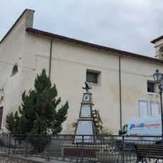
Antrodoco is a small commune located at about 1,600 feet (500 meters) in the mountains of the Rieti province with narrow streets and old stone buildings. It sits at the edge of the Velino Gorges, a deep ravine with rushing water that is considered one of the most unspoiled narrow passages in the Apennines.

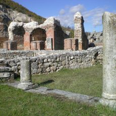
The settlement served as a mail station in ancient times, noted by the geographer Strabo in the first century before Christ. During the Middle Ages it endured a siege under Emperor Frederick II in 1231, and centuries later the townspeople fought against French forces in the 1800s.

The town takes pride in its local chestnut variety known as marroni, which shapes traditional cooking and seasonal celebrations. Walking through the narrow streets and seeing these products sold and used in local recipes gives you a sense of how food connects people to their land and past.

The town sits along the ancient Via Salaria and Via Sabina, two important old trade routes, making it easy to reach by road. The surrounding mountain trails work well for walking and hiking, especially around the Velino Gorges and the natural hot springs nearby.

On the mountainside above town, pine trees are arranged to spell the word 'DUCE', a symbol from Italy's past that is visible from the valley below. This surprising hill marking remains a stark reminder of a different historical era.

The community of curious travelers

AroundUs brings together thousands of curated places, local tips, and hidden gems, enriched daily by 60,000 contributors worldwide.

Start exploring
Capital city
Antrodoco
Elevation above the sea
525 m
Shares border with
Borbona, Borgo Velino, Cagnano Amiterno, Fiamignano, L'Aquila, Petrella Salto, Micigliano, Scoppito
GPS coordinates
42.41667,13.08333
Latest update
February 16, 2026 22:20
Reviews
Share your experience

No review yet

Discussions
Start a discussion...

No discussion yet

« Antrodoco - Italian comune » is provided by Around Us (aroundus.com). Images and texts are derived from Wikimedia project under a Creative Commons license. You are allowed to copy, distribute, and modify copies of this page, under the conditions set by the license, as long as this note is clearly visible.

Discover hidden gems everywhere you go!

From secret cafés to breathtaking viewpoints, skip the crowded tourist spots and find places that match your style. Our app makes it easy with voice search, smart filtering, route optimization, and insider tips from travelers worldwide. Download now for the complete mobile experience.

Around Us App Screenshot

A unique approach to discovering new places

Le Figaro

All the places worth exploring

France Info

A tailor-made excursion in just a few clicks

20 Minutes

Around Us
Travel Guide & Maps
Download

Send to your phone

QR Code
1

Open the camera app on your mobile.

2

Point at the QR code with your camera. A notification will appear.

3

Tap the notification to open the link.