Roccamandolfi, Italian comune
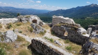
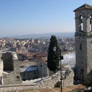
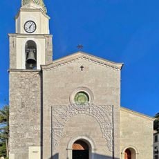
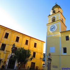
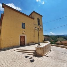
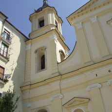
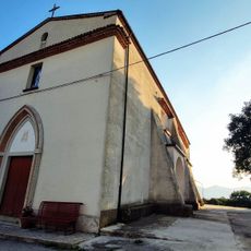
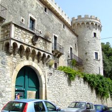
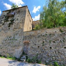
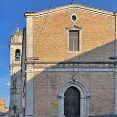
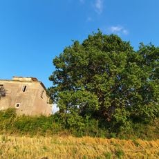
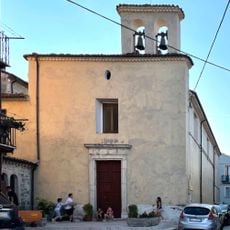
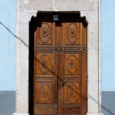
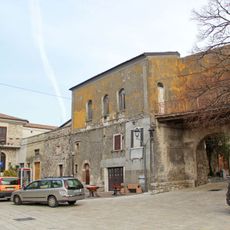
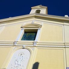
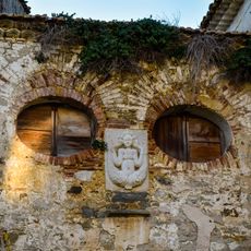
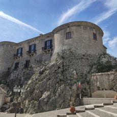
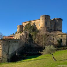
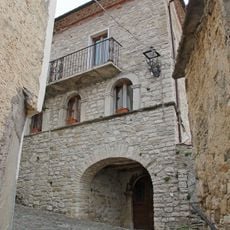
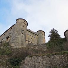
Roccamandolfi is a small hilltop town in the Matese mountains, in the province of Isernia, southern Italy, built with stone houses and narrow winding streets. The town has a castle dating to the 11th century, a church from the 1700s with wooden carvings, and a suspended bridge over a canyon just outside the center.
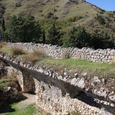
Originally called Rocca Maginulfo, the town was founded by Normans and later came under the rule of the French Anjou dynasty. Emperor Frederick II destroyed the castle in the 13th century, and from the 16th century the land passed to the Pignatelli family, who held it for several generations.
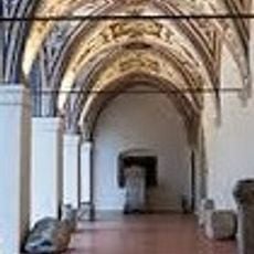
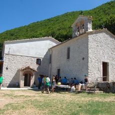
Roccamandolfi is known in the region for its connection to brigand history, and the local museum displays traditional costumes with fine embroidery and local craftsmanship. During patron saint festivals and food fairs, the town fills with locals and visitors taking part in processions and shared meals.
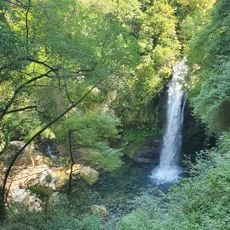
The town is reached by a narrow winding road, so careful driving is recommended, especially for larger vehicles. Most of the center can be explored on foot, while the suspended bridge and the trails leading to waterfalls and mountain peaks start at the edge of town.
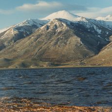
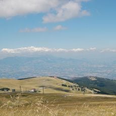
Mount Miletto, part of the town's territory, rises above 6,560 feet (2,000 meters) and on clear days offers a view of both the Adriatic and Tyrrhenian seas from its peak. Being able to see two seas at once from a single mountain summit is rare anywhere in Italy.
The community of curious travelers
AroundUs brings together thousands of curated places, local tips, and hidden gems, enriched daily by 60,000 contributors worldwide.