
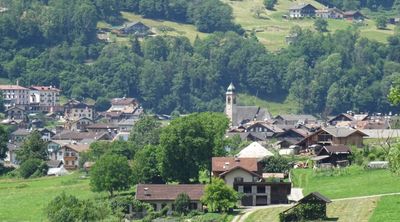
Siror, human settlement in Primiero San Martino di Castrozza, Italy
Location: Primiero San Martino di Castrozza
Capital city: Siror
Elevation above the sea: 765 m
Shares border with: Canale d'Agordo, Canal San Bovo, Imer, Mezzano, Predazzo, Tonadico, Transacqua
GPS coordinates: 46.18333,11.83333
Latest update: June 2, 2025 05:16
Castel Pietra
2.2 km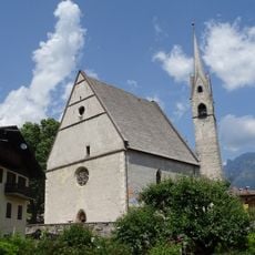
Santa Maria Assunta church
1.1 km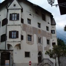
Palazzo delle Miniere
1.1 km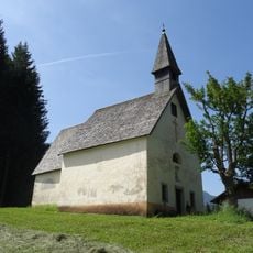
Saints John the Baptist and John the Evangelist chapel
4.6 km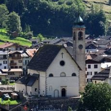
Saint Andrew church
689 m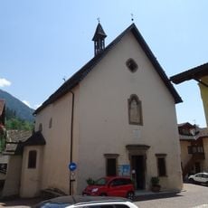
Saint Sebastian church
555 m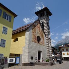
Our Lady of Consolation church
813 m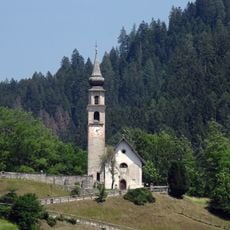
Saints Victor and Corona church
675 m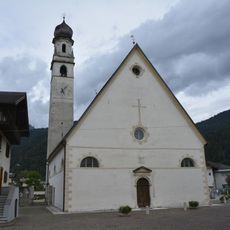
Saint George church
3.8 km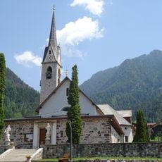
Saint Mark church
1 km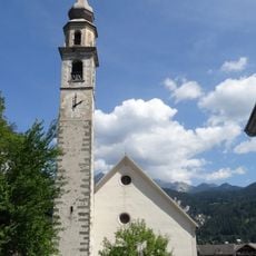
Saints Peter and Paul church
4.5 km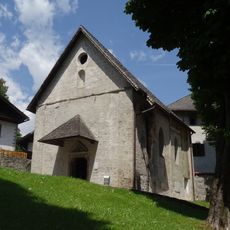
Saint Martin church
1.1 km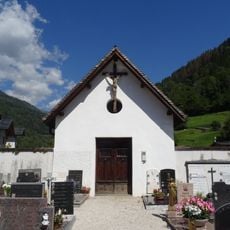
Crucifix chapel
733 m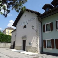
Saint Anthony of Padua church
557 m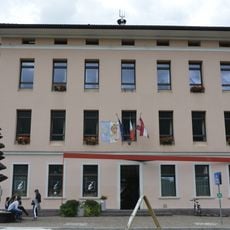
Municipio
3.8 km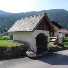
Saint Fosca chapel
3.4 km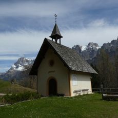
Saint Valentine church
4.1 km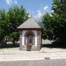
Saint Anthony shrine
978 m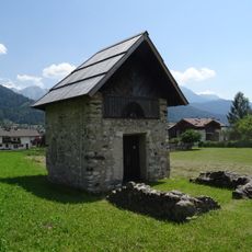
Saint James church
141 m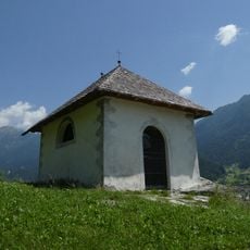
Our Lady of Help chapel
1 km
Canali
1.9 km
Town hall
834 m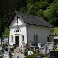
Cemetery chapel
1.5 km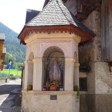
Our Lady of Loreto shrine
883 m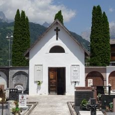
Crucifix chapel
975 m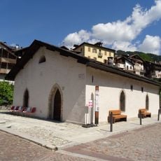
Lisiera
600 m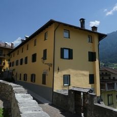
Casa Negrelli
1.1 km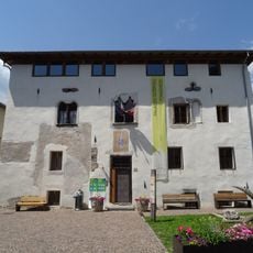
Palazzo Scopoli
572 mReviews
Visited this place? Tap the stars to rate it and share your experience / photos with the community! Try now! You can cancel it anytime.
Discover hidden gems everywhere you go!
From secret cafés to breathtaking viewpoints, skip the crowded tourist spots and find places that match your style. Our app makes it easy with voice search, smart filtering, route optimization, and insider tips from travelers worldwide. Download now for the complete mobile experience.

A unique approach to discovering new places❞
— Le Figaro
All the places worth exploring❞
— France Info
A tailor-made excursion in just a few clicks❞
— 20 Minutes