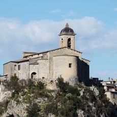
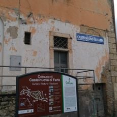
Fara in Sabina, Italian comune
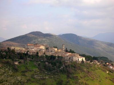
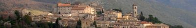
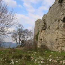
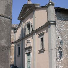
Fara in Sabina is a hilltop town in the Province of Rieti, in central Italy. Its old center is made up of stone buildings, narrow lanes, and small squares lined with medieval towers and church facades.
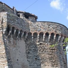
The settlement grew in the early Middle Ages around a castle and came under the influence of the Abbey of Farfa in the 11th century. In the 15th century, local noble families built Renaissance structures that are still visible in the townscape today.
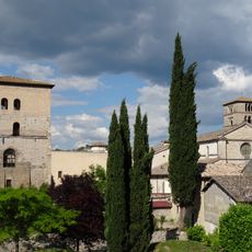
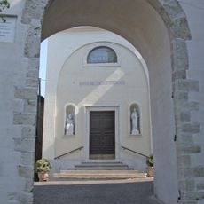
The town functions as a religious center with churches and monasteries dating back to the 1500s and 1600s. Spiritual life remains visible in daily routines, with clergy and monastic communities maintaining customs that shape how residents and visitors experience the place.
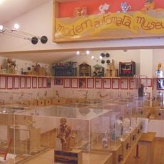
The town center is easy to walk through, with the main points of interest close together. Visiting the Palazzo Brancaleoni and its small museum is a good starting point before exploring the surrounding lanes.
The Palazzo Brancaleoni was formed by joining several small towers from the late 13th century, and beneath its Renaissance paintings, 18th-century frescoes were discovered only later. These hidden layers show how the building was reworked again and again over the centuries.
The community of curious travelers
AroundUs brings together thousands of curated places, local tips, and hidden gems, enriched daily by 60,000 contributors worldwide.