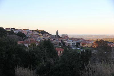
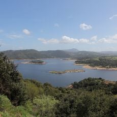
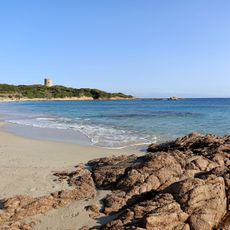
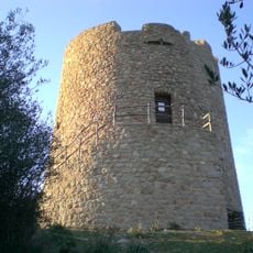
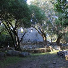
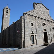
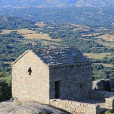
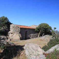
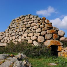
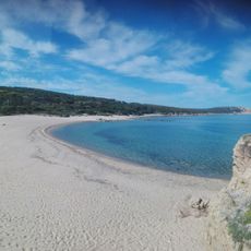
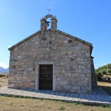
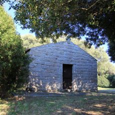
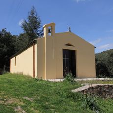
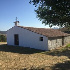
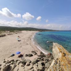
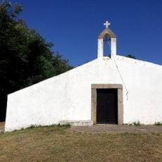
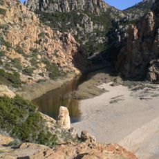
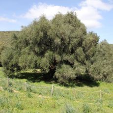
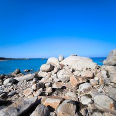
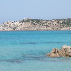
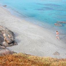
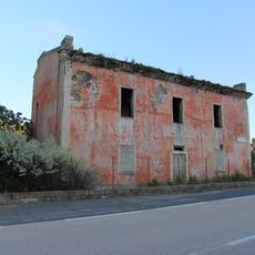
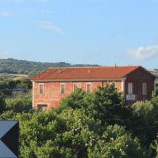
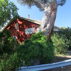
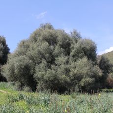
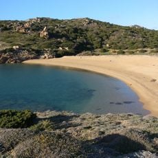
Aglientu, Italian comune
Location: Province of Sassari
Inception: 1959
Capital city: Aglientu
Elevation above the sea: 420 m
Shares border with: Luogosanto, Santa Teresa Gallura, Aggius, Tempio Pausania, Trinità d'Agultu e Vignola
Website: http://comune.aglientu.ot.it
GPS coordinates: 41.07883,9.11294
Latest update: March 31, 2025 02:28
Lake Liscia
15.4 km
Spiaggia di Vignola
6.7 km
Torre di Vignola
7.5 km
Palazzo di Baldu
9.5 km
Basilica della Nostra Signora
8.4 km
San Leonardo
11.9 km
Eremo di San Trano
9.7 km
Nuraghe Izzana
13.1 km
Castello San Leonardo di Balaiana
11.8 km
Cala Pischina
9.1 km
San Leonardo Silonis
11.5 km
Santo Stefano
9.4 km
San Bartolomeo
14.5 km
Chiesa di San Giacomo (Tempio Pausania)
11.5 km
Rena di Matteu
10.3 km
Lu Pultiddolu
12.3 km
Chiesa di San Pietro di Ruda
14.3 km
Spiaggia di Li Cossi
15.3 km
Ozzastru
14.4 km
Spiaggia La Padda
13.2 km
Rena Majori
11.8 km
Casa cantoniera di Lu Sfussatu
9.2 km
Olivastro
14.4 km
Casa cantoniera di Locusantu
7.8 km
Casa cantoniera di Bassacutena
13.2 km
Olivastro
14.4 km
La Padda - La Colba
13.2 km
Spiaggia di li saldi
5.9 kmVisited this place? Tap the stars to rate it and share your experience / photos with the community! Try now! You can cancel it anytime.
Discover hidden gems everywhere you go!
From secret cafés to breathtaking viewpoints, skip the crowded tourist spots and find places that match your style. Our app makes it easy with voice search, smart filtering, route optimization, and insider tips from travelers worldwide. Download now for the complete mobile experience.
A unique approach to discovering new places❞
— Le Figaro
All the places worth exploring❞
— France Info
A tailor-made excursion in just a few clicks❞
— 20 Minutes