Enable Location

We need your location to show you interesting places around you

Discover nearby places

Find interesting locations and hidden gems around you

Precise directions

Get accurate directions and distances to places

Your location is never shared with other users. It's only used when you tap the location button.

Deutschnofen

Log in to your account

Start exploring — it's free

Trusted by 64,133 travelers worldwide

Continue with Google
Continue with Apple
or

We will send you a code to connect

By continuing, you accept our Terms and Conditions and our Privacy Policy

Check your inbox

We've sent a pincode in your inbox. Please enter the code below.

Discussion Reviews 1 Photos
15.4k Popularity

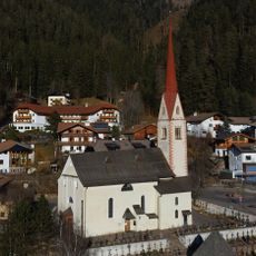
Deutschnofen, municipality in South Tyrol, Italy

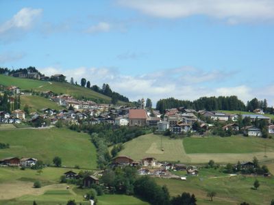
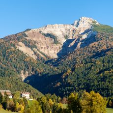
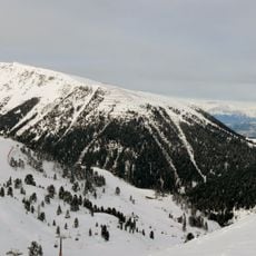
Deutschnofen is a mountain village situated on the Reggelberg plateau at about 1,350 meters elevation. The commune spreads across green meadows surrounded by Dolomite peaks, including the Latemar, Rosengarten, and Schlern.

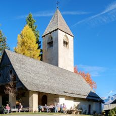
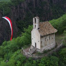
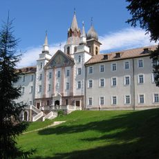
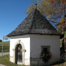
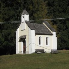
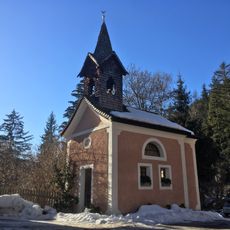
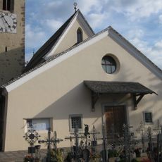
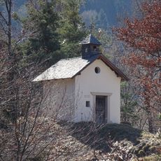
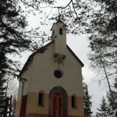
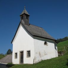
Thurn Castle was first documented in the late 1200s and served as a court building before later becoming a school and town hall. The Chapel of St. Helena dates to the 1300s and displays Gothic frescoes of regional importance.

The name reflects the German-speaking heritage of this Alpine region in South Tyrol. The village maintains traditional mountain life through its farmsteads and continued use of the surrounding pastures for agriculture and grazing.

The village is easily accessible by public transport, and visitors can use a Guest Pass for free bus and train travel during their stay. The nearby Obereggen ski area is about 9 kilometers away and offers modern lifts and slopes for all levels.

The area receives an exceptionally high number of sunshine hours, making it one of the sunniest valleys in the region. This natural brightness shapes how the landscape looks and feels throughout the year.

The community of curious travelers

AroundUs brings together thousands of curated places, local tips, and hidden gems, enriched daily by 60,000 contributors worldwide.

Start exploring
Location
Elevation above the sea
1,357 m
Shares border with
Bolzano, Karneid, Welschnofen, Predazzo, Tesero, Ville di Fiemme, Aldein, Bronzolo, Laives
GPS coordinates
46.41399,11.42518
Latest update
February 20, 2026 00:01
Reviews
Share your experience

No review yet

Discussions
Start a discussion...

No discussion yet

« Deutschnofen - municipality in South Tyrol, Italy » is provided by Around Us (aroundus.com). Images and texts are derived from Wikimedia project under a Creative Commons license. You are allowed to copy, distribute, and modify copies of this page, under the conditions set by the license, as long as this note is clearly visible.

Discover hidden gems everywhere you go!

From secret cafés to breathtaking viewpoints, skip the crowded tourist spots and find places that match your style. Our app makes it easy with voice search, smart filtering, route optimization, and insider tips from travelers worldwide. Download now for the complete mobile experience.

Around Us App Screenshot

A unique approach to discovering new places

Le Figaro

All the places worth exploring

France Info

A tailor-made excursion in just a few clicks

20 Minutes

Around Us
Travel Guide & Maps
Download

Send to your phone

QR Code
1

Open the camera app on your mobile.

2

Point at the QR code with your camera. A notification will appear.

3

Tap the notification to open the link.