Butera, Italian comune
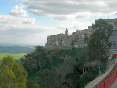
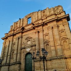
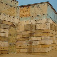
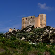
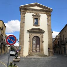
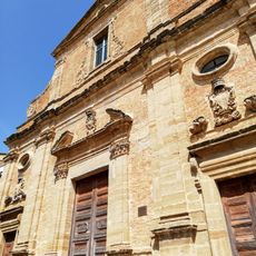
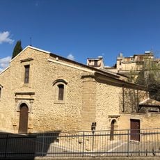
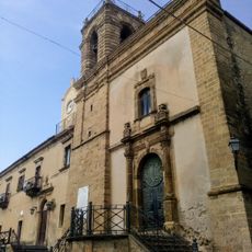
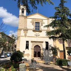
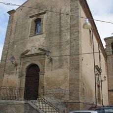
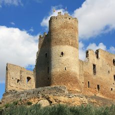
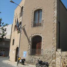
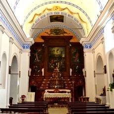
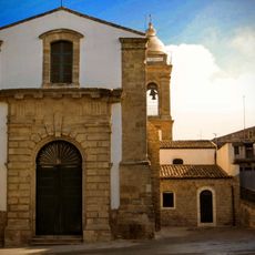
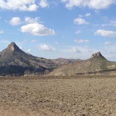
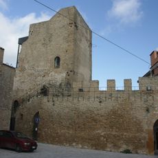
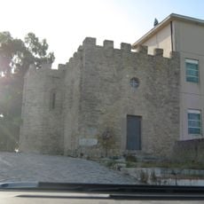
Butera is a commune in Sicily, Italy, located on a hilltop about 402 meters (1,320 feet) above sea level overlooking the Gela plain. The town features narrow streets, old fortifications, and historic churches that reflect its past importance as a wealthy and heavily defended medieval city.
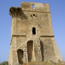
Known as Butirah under Arab rule, the city grew into a key center and was later taken by the Normans as the seat of a countship. It was destroyed in 1161 by William I for supporting opposition to the monarchy, but was rebuilt under Swabian rule and remained strategically contested between Angevin and Aragonese powers.
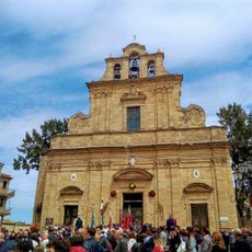
During Holy Week, religious processions move through the streets as residents carry statues and religious icons in traditional ceremonies. Local festivals like the Festa di Maria Ausiliatrice and Festa di San Rocco bring families together, with decorated streets showing how the community expresses its faith and traditions throughout the year.
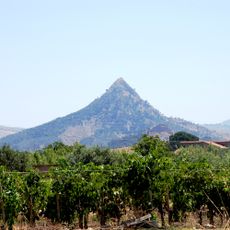
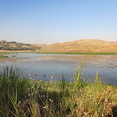
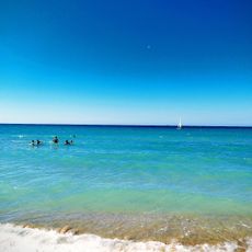
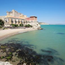
The town is small enough to explore on foot by walking through the narrow streets to discover hidden squares and old churches. The location sits about 402 meters (1,320 feet) above sea level and offers views of the surrounding landscape and nearby coastline with beaches.
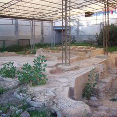
The true name and original location of the ancient city remain disputed as historians debate whether it was ancient Gela, Mactorium, or another lost settlement. These discussions have continued for centuries, and despite ruins found nearby, definitive proof has never been established, making Butera a place whose past remains mysterious.
The community of curious travelers
AroundUs brings together thousands of curated places, local tips, and hidden gems, enriched daily by 60,000 contributors worldwide.