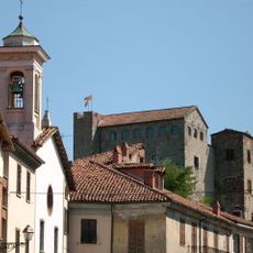
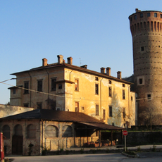
Parco naturale regionale di Bric Tana, Regional nature park in Province of Savona, Italy
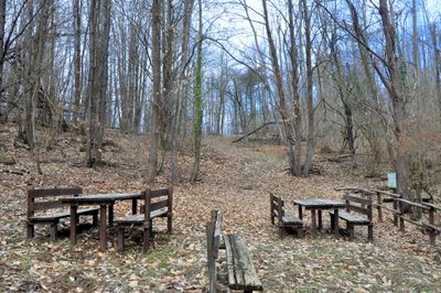
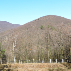
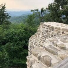
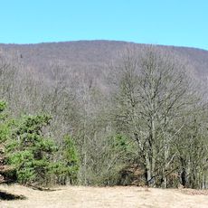
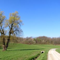
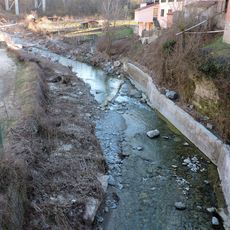
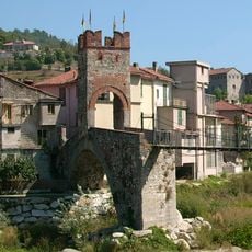
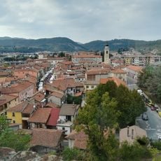
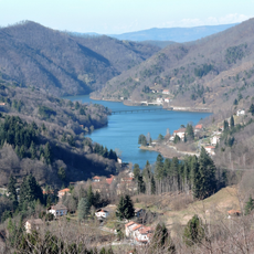
Parco naturale regionale di Bric Tana is a protected reserve in the Province of Savona covering approximately 169 hectares, featuring limestone formations, chestnut groves, and mixed woodlands. The Bormida River runs through the area, and several marked hiking trails including Anello delle Doline and Anello del Bosco provide access to different sections of the park.
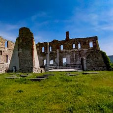
Researchers identified the geological importance of this area during the 1960s, which led to its official designation as a regional park in 1985. This protection status enabled systematic study and preservation of both its natural features and archaeological heritage.
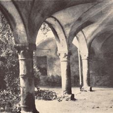
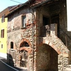
The Tana dell'Orpe cave displays signs of human occupation dating back to prehistoric times, with stone tools and evidence of ancient stone-working techniques discovered within its chambers. This shows how local communities have interacted with the natural resources of this land for thousands of years.
The park features several marked trails including Anello delle Doline and Anello del Bosco, with a visitor center offering information since 2014. The paths are well signposted, though sturdy footwear and a map are recommended for safely navigating the terrain.
The underground karst system features numerous caves and dolines where rainwater seeps into the subsoil through funnel-shaped depressions. This geological network creates a hidden underground landscape that many visitors overlook while walking the surface trails.
The community of curious travelers
AroundUs brings together thousands of curated places, local tips, and hidden gems, enriched daily by 60,000 contributors worldwide.