Enable Location

We need your location to show you interesting places around you

Discover nearby places

Find interesting locations and hidden gems around you

Precise directions

Get accurate directions and distances to places

Your location is never shared with other users. It's only used when you tap the location button.

Diamantiditurm

Log in to your account

Start exploring — it's free

Trusted by 62,844 travelers worldwide

Continue with Google
Continue with Apple
or

We will send you a code to connect

By continuing, you accept our Terms and Conditions and our Privacy Policy

Check your inbox

We've sent a pincode in your inbox. Please enter the code below.

Diamantiditurm

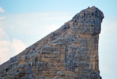
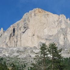
Diamantiditurm, Mountain summit in the Latemar range, Italy.

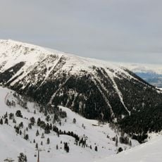
Diamantiditurm is a mountain summit in the Latemar range with an elevation of about 2,842 meters and steep rock walls on its northern side. The northern face drops roughly 700 meters before transitioning to extensive scree slopes.

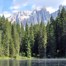
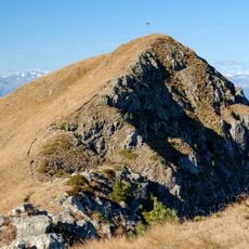
This summit marks a natural boundary between the autonomous province of South Tyrol to the north and Trentino to the south. The ridge has long served as a significant territorial dividing line in the region.

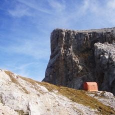
The trails around this summit lead to mountain huts where visitors can experience local South Tyrolean food and see how traditional alpine practices shape life in the region.

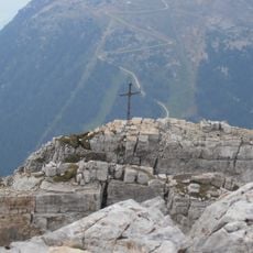
Reaching this summit requires climbing gear and solid technical experience, with the round trip typically taking eight to nine hours. Starting early and monitoring weather conditions is important, as mountain conditions can change quickly.

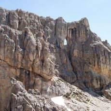
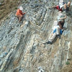
This peak is composed of layered Schlerndolomite with distinctive gorges and gullies carved by erosion over time. The resulting rock formations create visually striking features that also influence climbing routes.

The community of curious travelers

AroundUs brings together thousands of curated places, local tips, and hidden gems, enriched daily by 60,000 contributors worldwide.

Start exploring
Elevation above the sea
2,842 m
Part of
Latemar
GPS coordinates
46.38083,11.57444
Latest update
December 14, 2025 11:05
« Diamantiditurm - Mountain summit in the Latemar range, Italy » is provided by Around Us (aroundus.com). Images and texts are derived from Wikimedia project under a Creative Commons license. You are allowed to copy, distribute, and modify copies of this page, under the conditions set by the license, as long as this note is clearly visible.

Discover hidden gems everywhere you go!

From secret cafés to breathtaking viewpoints, skip the crowded tourist spots and find places that match your style. Our app makes it easy with voice search, smart filtering, route optimization, and insider tips from travelers worldwide. Download now for the complete mobile experience.

Around Us App Screenshot

A unique approach to discovering new places

Le Figaro

All the places worth exploring

France Info

A tailor-made excursion in just a few clicks

20 Minutes

Around Us
Travel Guide & Maps
Download

Send to your phone

QR Code
1

Open the camera app on your mobile.

2

Point at the QR code with your camera. A notification will appear.

3

Tap the notification to open the link.