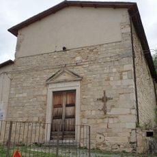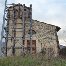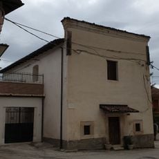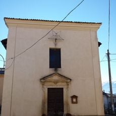
Central Italy, Geographic and statistical region in Italy
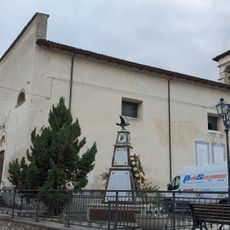
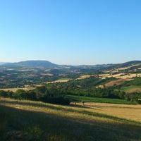
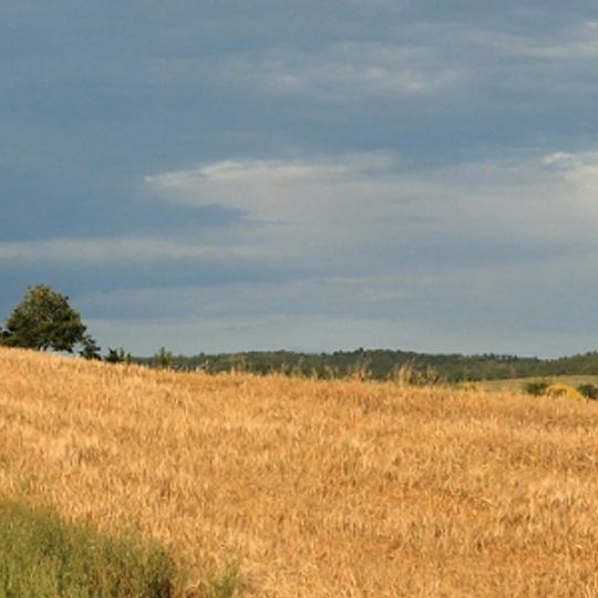
This territorial unit spans from the Adriatic coast in the east to the Tyrrhenian coast in the west, covering Tuscany, Umbria, Lazio, and Marche. The Apennines cross the territory from north to south, forming rolling hills, wide valleys, and steep mountain ranges that shape many towns and river basins.
These regions formed separate political units until 1861, with the Papal States controlling Lazio and Umbria while the Grand Duchy of Tuscany administered its own territory. After Italian unification, current administrative boundaries were established, partly based on older territorial structures.
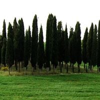
Residents maintain farming techniques passed down through generations that shape the landscape, from Tuscany's vineyard terraces to Umbria's olive groves. In old town centers, many traditional crafts continue in small workshops and local markets that visitors can observe.
Travelers can reach major cities through a dense rail network that combines regional trains and fast connections. Buses and secondary lines serve smaller towns often perched on hills or nestled in valleys, offering quieter stays.
Many visitors overlook that the territory offers a wide range of microclimates shifting from sea coasts to mountain peaks within short distances. This climatic variety allows beach visits and hikes through cool mountain forests in the same month.
The community of curious travelers
AroundUs brings together thousands of curated places, local tips, and hidden gems, enriched daily by 91,610 contributors worldwide.