Enable Location

We need your location to show you interesting places around you

Discover nearby places

Find interesting locations and hidden gems around you

Precise directions

Get accurate directions and distances to places

Your location is never shared with other users. It's only used when you tap the location button.

Calà del Sasso

Log in to your account

Start exploring — it's free

Trusted by 62,858 travelers worldwide

Continue with Google
Continue with Apple
or

We will send you a code to connect

By continuing, you accept our Terms and Conditions and our Privacy Policy

Check your inbox

We've sent a pincode in your inbox. Please enter the code below.

Calà del Sasso

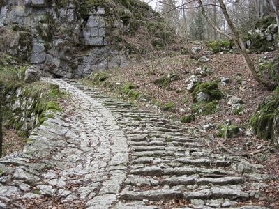
Calà del Sasso, Hiking trail in Valbrenta, Italy

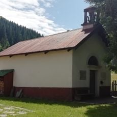
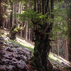
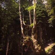
Calà del Sasso is a historic stone stairway in the heart of Valbrenta, extending seven kilometers between Sasso di Asiago and Valstagna and passing through steep rock faces and forest sections. The limestone steps run alongside a continuous channel that collects and diverts rainwater, while the route crosses small meadows and dense stretches of trees.

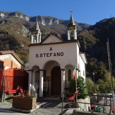
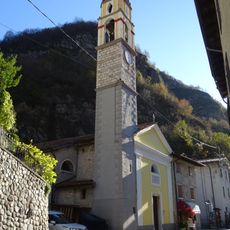
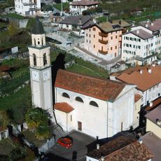
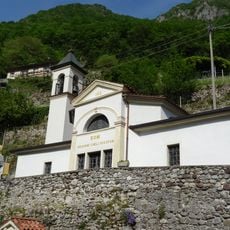
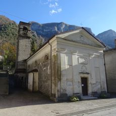
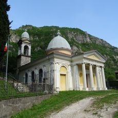
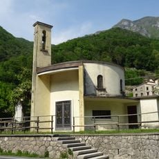
The stairway was built in the late 14th century to create a toll-free link between the high plateau and the valley for timber transport. Over the centuries, the path also served as a pilgrimage route and a military access point during the conflicts of the 20th century.

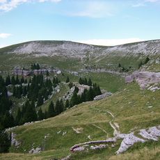
The name Calà comes from the local dialect and means to descend or go down, referring to the direction timber carriers traveled when bringing wood to the valley. Visitors today hike in both directions, though many prefer the ascent to gradually reveal views over the Valsugana valley and surrounding peaks.

The ascent begins in Valstagna at 221 meters and ends in Sasso di Asiago at 965 meters, with the 744-meter elevation gain spread over many short sections. The steps become slippery after rain, so sturdy footwear with good grip is advisable, especially during wet conditions in spring and autumn.

The route contains 4,444 steps, making it the longest public staircase in Italy. The number of steps was chosen to be easy to remember and also carry a symbolic meaning for the communities above and below.

The community of curious travelers

AroundUs brings together thousands of curated places, local tips, and hidden gems, enriched daily by 60,000 contributors worldwide.

Start exploring
Location
Location
GPS coordinates
45.86350,11.63020
Latest update
December 5, 2025 22:29
« Calà del Sasso - Hiking trail in Valbrenta, Italy » is provided by Around Us (aroundus.com). Images and texts are derived from Wikimedia project under a Creative Commons license. You are allowed to copy, distribute, and modify copies of this page, under the conditions set by the license, as long as this note is clearly visible.

Discover hidden gems everywhere you go!

From secret cafés to breathtaking viewpoints, skip the crowded tourist spots and find places that match your style. Our app makes it easy with voice search, smart filtering, route optimization, and insider tips from travelers worldwide. Download now for the complete mobile experience.

Around Us App Screenshot

A unique approach to discovering new places

Le Figaro

All the places worth exploring

France Info

A tailor-made excursion in just a few clicks

20 Minutes

Around Us
Travel Guide & Maps
Download

Send to your phone

QR Code
1

Open the camera app on your mobile.

2

Point at the QR code with your camera. A notification will appear.

3

Tap the notification to open the link.