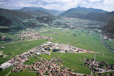
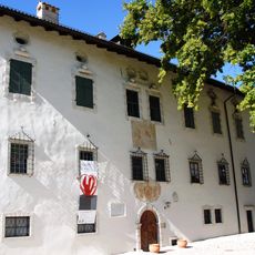
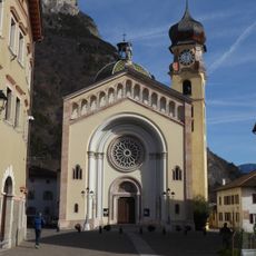
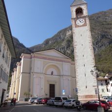
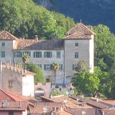
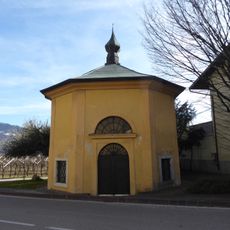
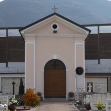
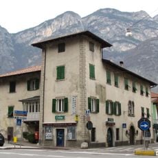
Piana Rotaliana, Alluvial plain in Trentino, Italy
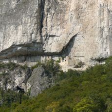
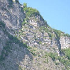
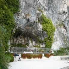
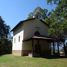
Piana Rotaliana is an alluvial plain between the Adige River and Noce Stream in northern Trentino, forming a triangular shape. Tall limestone walls enclose the area, creating a clearly defined geographic boundary.
The land formed over centuries through repeated flooding by the Noce Stream, which deposited water and sediments across the terrain. These geological processes shaped the flat landscape suitable for farming today.
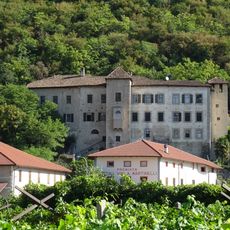
The region is known for Teroldego Rotaliano wine, made from native grapes grown in limestone-rich soils, which holds an important place in local wine traditions. The vineyards shape the landscape and are central to daily work for many people living in the area.
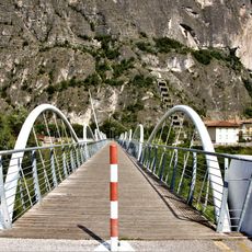
The area is reachable from Trento via the SS12 road or the Brennero motorway exit, serving as an access point to nearby valleys. Visitors should note that roads can be busy during harvest time and in poor weather conditions.
The rock formations surrounding the plain influence temperature patterns, while winds from neighboring valleys regulate humidity levels and shape vineyard conditions. These natural factors have been observed over generations and affect how grapes ripen.
The community of curious travelers
AroundUs brings together thousands of curated places, local tips, and hidden gems, enriched daily by 60,000 contributors worldwide.