Monte Conero, Mediterranean mountain summit in Province of Ancona, Italy
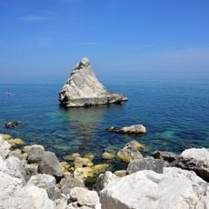
Monte Conero rises 572 meters above the Adriatic Sea and forms a white limestone promontory with steep cliffs dropping directly into the water. A regional park system connects different vantage points through 18 marked hiking trails, offering access to commanding views of the coastline.
The Romans recorded the name Cunerum in the 1st century AD; late 13th-century documents give Cònaro, and in the 18th century the Camaldolese monks began writing Cònero. The name is commonly linked to the Greek kómaros, the strawberry tree, whose red fruits are called "cocomeri" locally. Monte d'Ancona, shortened to Monte, was historically the most used name; Conero spread among ordinary speakers only after World War II.
The name Conero most likely comes from the ancient Greek kómaros, the strawberry tree, which grows on the slopes and yields red fruits locally called "cocomeri"; this etymology underlies the emblem of the Province of Ancona. The Latin form Cunerum is recorded in the 1st century AD, Cònaro appears in late 13th-century documents, and the Camaldolese began using Cònero in the 18th century.
Visitors should wear sturdy footwear and carry plenty of water, as trails are exposed to sun with little shade along the way. Many routes are steep, so a moderate fitness level helps, especially for longer hikes.
This is the only coastal elevation above 500 meters along the entire Italian Adriatic coast between Trieste and Gargano. This geographical feature makes it a distinctive landmark visible from the sea and a rare characteristic of the coastline.
The community of curious travelers
AroundUs brings together thousands of curated places, local tips, and hidden gems, enriched daily by 94,091 contributors worldwide.