Varaita, Creek in Province of Cuneo, Italy.
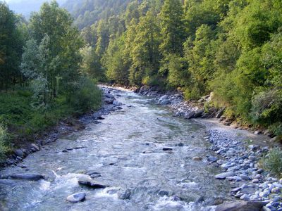
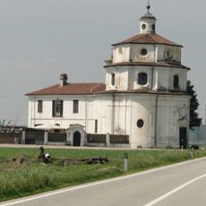
The Varaita is a mountain creek that winds for about 75 kilometers through the Cottian Alps, beginning at Monviso peak and flowing east toward the Po River. Along its course, the waterway passes through villages and agricultural land that have developed around its flow.
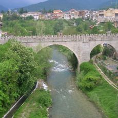
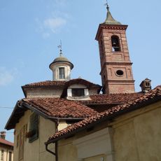
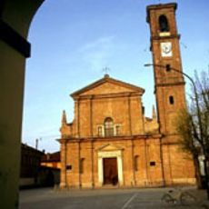
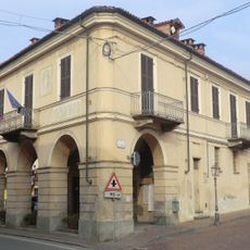
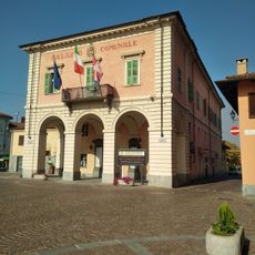
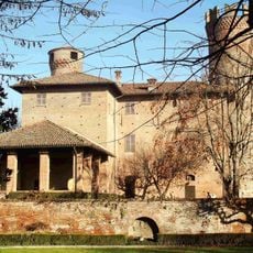
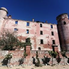
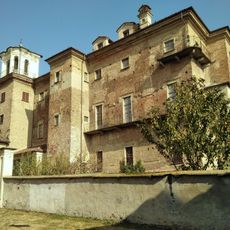
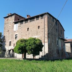
The waterway shaped valley settlement since medieval times, with people establishing villages along its banks to access water for survival and farming. This early dependence on the flow influenced where communities chose to build and develop.
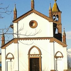
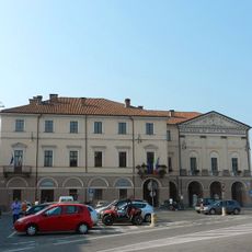
The waterway holds importance for valley residents who depend on it for farming and daily life in the settlements along its course. Local irrigation practices reflect generations of shared water management among farming families.
You can reach the creek at various points along provincial roads, with parking areas near Sampeyre and Pontechianale offering direct access to the water. Late spring through early fall offers the most comfortable visiting conditions when weather is stable.
The water originates at roughly 2,500 meters elevation on Monviso and maintains steady flow throughout the year, supporting both the natural environment and farming seasons. This constant water supply from high altitude keeps the valley green and productive even during drier periods.
The community of curious travelers
AroundUs brings together thousands of curated places, local tips, and hidden gems, enriched daily by 60,000 contributors worldwide.