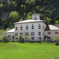
Corno di Tres, Mountain summit in Mendola Ridge, Italy
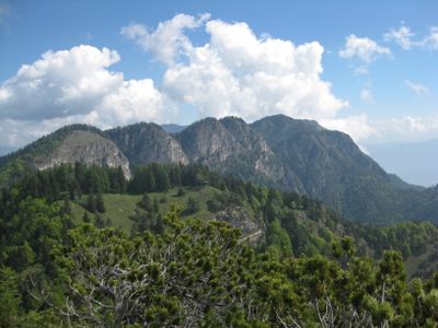
Corno di Tres rises to 1,812 meters (5,945 feet) between the Predaia High Plateau and Valle dell'Adige, marking the boundary between South Tyrol and Trentino. Its location at this border creates a natural meeting point where two distinct regions converge.
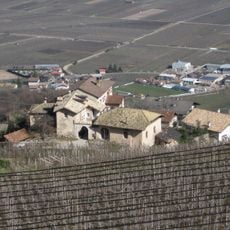
Mountain paths crossing the peak served as traditional routes connecting communities in Val di Non with those in Valle dell'Adige. These trails became important trade connections between the two valleys over time.
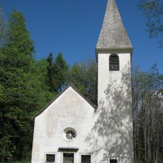
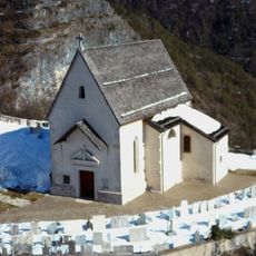
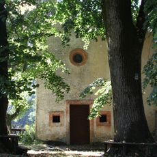
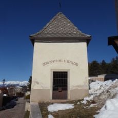
A small altar stands at the summit where mountain masses bring together residents from German-speaking and Italian-speaking communities. These gatherings reflect how the peak serves as a meeting point across cultural boundaries.
The ascent starts from Corona hamlet at 800 meters (2,625 feet), following the Schönleitensteig path over a distance of about 13 kilometers (8 miles) with roughly 600 meters (1,970 feet) of elevation gain. Sturdy footwear and good fitness are recommended for this mountain trail.
From the peak, visitors can observe where limestone formations of the Brenta Group give way to porphyry rocks of the Mendola chain. This visible difference in rock types marks a clear geological transition.
The community of curious travelers
AroundUs brings together thousands of curated places, local tips, and hidden gems, enriched daily by 60,000 contributors worldwide.