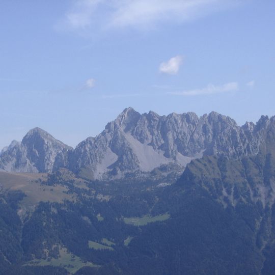
Pizzo Camino, Mountain summit in Lombardy, Italy.
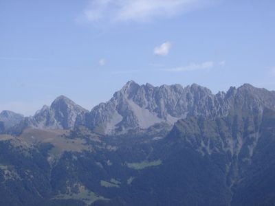
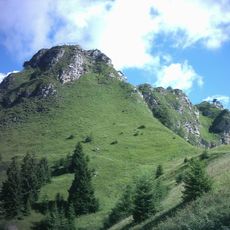
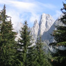
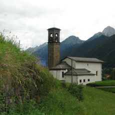
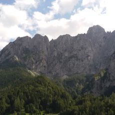
Pizzo Camino is a mountain summit in Lombardy, sitting on the ridge that separates Val di Scalve from Val Camonica and reaching 8,176 ft (2,492 m). The top is made up of limestone cliffs and sandstone slopes, forming a distinct rocky ridge with several separate outcrops visible from below.
The rock layers of Pizzo Camino date to the middle Triassic period and were originally formed as sediments on the floor of the ancient Tethys Ocean. Over millions of years, tectonic forces pushed these layers upward, creating the steep cliffs that now define the summit.
The mountain's name appears as Pis Camì in the local Bergamasque and Camunian dialects. The ridge forms the administrative border between the provinces of Bergamo and Brescia, with the northern and western slopes in Bergamo and the southern and eastern in Brescia. The peak is also known in Chinese as 卡米諾峰.
Two normal routes reach the summit, both rated CAI EE for experienced hikers and taking about four hours: from Schilpario (1,135 m) via Malga Alta di Voia and Passo di Corna Büsa, or from Borno (912 m) via Lago di Lova and Rifugio Gualtiero Laeng (1,750 m). The Schilpario route has no hut; the Borno route does. Snow or ice makes both routes suitable only for equipped alpinists.
The mountain's name appears in local dialects as Pis Camì, in both Bergamasque and Camunian. A via ferrata named Attilio Gheza, opened in 2015 by the CAI sections of Borno and Cedegolo, links the peaks along the ridge while staying at altitude.
The community of curious travelers
AroundUs brings together thousands of curated places, local tips, and hidden gems, enriched daily by 94,671 contributors worldwide.