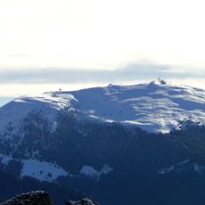
Monte Altissimo, Mountain summit in Lombardy, Italy
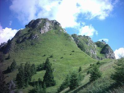
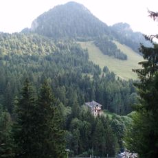
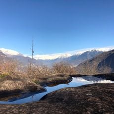
Monte Altissimo is a summit in the Bergamasque Prealps of Lombardy, sitting between Val Camonica and Val di Scalve, with steep cliff faces on several sides and a network of marked hiking trails. Most routes start from the Borno plateau, climbing through rocky terrain at varying gradients to reach the top.
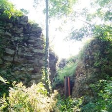
During World War II, military fortifications were built around the summit, and the paths created to serve them opened up the terrain in ways that had not existed before. Those former military routes now form the backbone of the hiking network still used today.
The trails around the mountain have long served as traditional routes linking villages of the Bergamasque Prealps, and locals from the surrounding valleys still use them regularly. On summer weekends, you will often meet groups from nearby towns walking paths that their grandparents also walked.
Sturdy footwear is necessary on all routes, as sections of the trail are steep and rocky throughout. Starting early in the morning is a good idea, especially in summer when afternoon heat and changing weather can make the upper parts less comfortable.
From the top, you can look in every direction and pick out the line of the Oglio River valley far below alongside neighboring peaks of the Bergamasque Prealps. What many visitors do not realize is that some of the stone structures still visible along certain trails are the remains of those wartime fortifications.
The community of curious travelers
AroundUs brings together thousands of curated places, local tips, and hidden gems, enriched daily by 60,000 contributors worldwide.