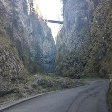
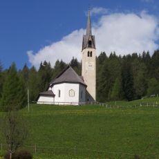
Lake Alleghe, Landslide-dammed lake in Veneto, Italy
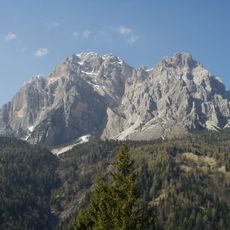
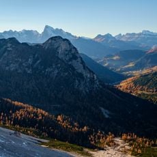
Lake Alleghe sits in the Dolomites at approximately 966 meters elevation and is framed by the peaks of Monte Civetta. Its waters span several kilometers of shoreline and are surrounded by walking paths, fishing spots, and cycling routes that connect to neighboring mountain areas.
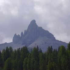
The lake formed in 1771 when a section of Monte Piz collapsed, triggering a landslide that blocked the Cordevole River. This natural dam remains in place today, creating the water body where villages once stood.
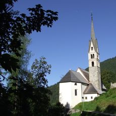
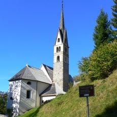
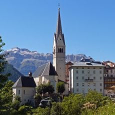
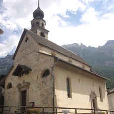
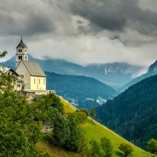
The lake owes its name to the village of Alleghe, which grew on its eastern shore after the 1771 landslide. The drowned villages of Riete, Marin, Fusine, Peron, Soracordevole, Sommariva, Costa and Torre survive in local memory, and the disaster was described by Antonio Stoppani in a chapter of Il Bel Paese.
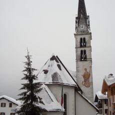
The lake is accessible on foot and by bicycle, with well-marked paths around the shoreline for different fitness levels. Visitors should expect varying conditions depending on the season, from snow in winter to warm weather in summer.
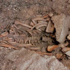
The 1771 landslide that created the lake buried the village of Riete and later floods submerged Peron, Soracordevole, Sommariva, Costa and Torre, displacing 208 people. A second collapse on 1 May 1771 sent a wave that destroyed the rectory and part of the church at Alleghe, killing three people, including a boat builder sent by the Venetian Republic.
The community of curious travelers
AroundUs brings together thousands of curated places, local tips, and hidden gems, enriched daily by 94,671 contributors worldwide.