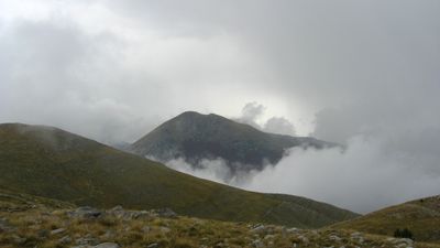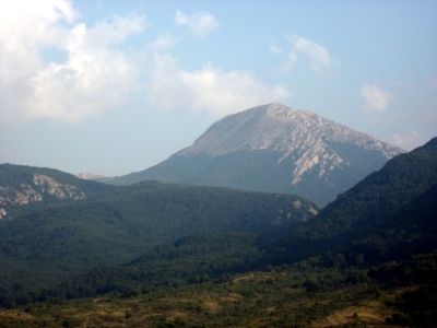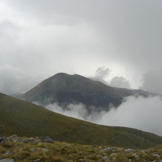
Monte Pollino, Limestone summit in Pollino National Park, Italy.
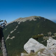
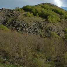
Monte Pollino is a rounded summit of the southern Apennines in the Pollino massif, reaching 2,248 m and second in height only to Serra Dolcedorme. Its northern slopes were covered by two glaciers during the Würm glaciation, which left moraine deposits and large erratic boulders on the Pollino and Acquafredda plains between 1,800 and 2,000 m. A seasonal snowfield lies just south of the peak at 2,225 m, near an old doline.
Monte Pollino's present profile was shaped by two glaciers that descended its northern slope, separated by the eastern buttress, during the last Würm glaciation. Their retreat left moraine deposits and large erratic boulders on the Pollino and Acquafredda plains at 1,800–2,000 m. On 9 October 2010 a temperature sensor was installed at the snowfield at 2,225 m, just south of the summit near an old doline, to monitor the microclimate.
Monte Pollino gives its name to the whole massif and to the national park at whose centre it stands, and it is counted among the geosites of the Pollino Geopark. The mountain's profile still shows the work of two glaciers that descended its northern slope during the last Würm glaciation, leaving moraine deposits and large erratic boulders on the Pollino and Acquafredda plains at 1,800–2,000 m.
Visitors should come prepared with proper gear and layered clothing, as weather at elevation changes rapidly. The best season for hiking is from May through October when conditions are most stable.
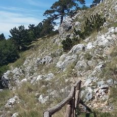
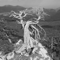
The area is home to rare Bosnian pine forests found in only a handful of locations across Europe, which thrive in the harsh conditions. These trees are a surprising discovery for many visitors exploring the trails.
The community of curious travelers
AroundUs brings together thousands of curated places, local tips, and hidden gems, enriched daily by 94,388 contributors worldwide.