Monte Tagliaferro, Mountain summit in Province of Vercelli, Italy
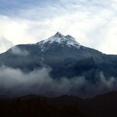
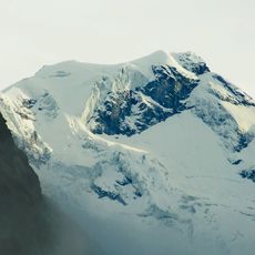
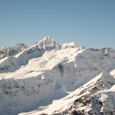
Monte Tagliaferro is a 2,964 m peak of the Pennine Alps on the ridge descending from Punta Gnifetti of Monte Rosa, dividing Alagna Valsesia from Alto Sermenza in the Province of Vercelli. Seen from Val d'Otro and Colle del Termo it has a pyramidal shape, with a southern spur called Dosso Grinner carrying the normal route. Four main walls are separated by as many ridges; the north wall is a vertical face up to 1,200 m high, crossed diagonally by the Haida Weg ledge.
The name, literally meaning "iron cutter", may come from a sharp stone block located not far from the summit. The mountain rises to 2,964 m between Alagna Valsesia and Alto Sermenza, on the ridge descending from Punta Gnifetti of Monte Rosa. Its two normal routes reach the top via the Passo del Gatto and the Passo del Vallarolo.
The name Tagliaferro means "iron cutter" and may refer to a sharp stone block near the summit. Walser people have crossed the Colle Mud and Bocchetta della Moanda paths between Alagna and Val Sermenza since the Middle Ages. Gilberto Negri, owner of Alpe Campo and the mountain's foremost climber, is a name locals associate with the peak.
The normal route from Rima San Giuseppe climbs about 1,600 m through the Vallarolo pass (2,332 m) and takes roughly 5 hours, rated EE. There is no support point on the way, and the final stretch to Passo del Gatto is narrow and very steep, with no chains fixed. Choose a day with stable weather and moderate temperatures, since humidity makes the rocks slippery.
The Rifugio Santino Ferioli, a public mountain hut at 2,264 m, stands below the mountain's north-west face, about 800 m high and crossed by steep gullies where loose gneiss makes rockfall frequent. The Haida Weg, a long ledge 50 cm to over 2 m wide, crosses the north wall diagonally above Valmontasca.
The community of curious travelers
AroundUs brings together thousands of curated places, local tips, and hidden gems, enriched daily by 94,440 contributors worldwide.