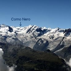
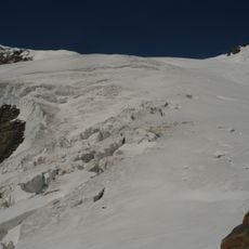
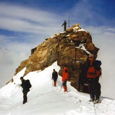
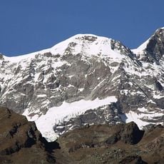
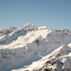
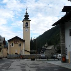
Corno Rosso, Mountain summit in Pennine Alps, Italy
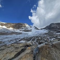
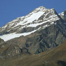
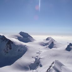
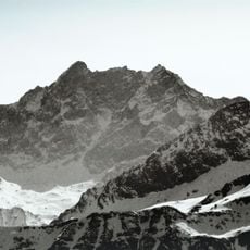
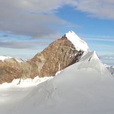
Corno Rosso is a mountain summit in the Pennine Alps rising to approximately 3000 meters and straddling the border between Piedmont and Aosta Valley. The terrain features steep gullies, narrow cirques, and rocky ridges that form the backbone of the peak.
The sources record no first-ascent date or climbing history for Corno Rosso. They describe the mountain as lying on the watershed between the Lys valley and Valsesia, divided between Gressoney-La-Trinité and Alagna Valsesia, with a topographic prominence of 143 metres. The summit is reached by a waymarked path marked with cairns branching from the trail through Passo Zube, with an easy climbing passage to the highest point.
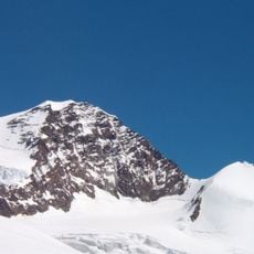
The name means Red Horn, referring to the reddish tones of the peak that become especially visible in certain light conditions. This coloring shapes how the mountain appears and makes it recognizable from distance.
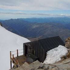
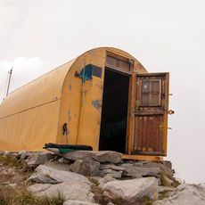
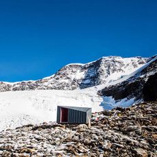
The usual route starts from Òrsio, a hamlet of Gressoney-La-Trinité, or with less ascent from the Gabiet intermediate station of the cable car to Passo dei Salati. From the Passo Zube path a waymarked trail marked with cairns leads to the top; the final block above the rocky table needs an easy climbing move. The Col d'Olen ascent is alpine, with grade I and II passages. Rifugio del Gabiet at 2,375 m in the Lys valley is the supporting hut.
Geologists know Corno Rosso for rocks whose magnetisation points about 180° opposite to today's magnetic field, recording a reversal of Earth's polarity. The mountain is built largely of serpentinite. Its topographic prominence is 143 metres, and the Col d'Olen separates it from the Corno del Camoscio to the north.
The community of curious travelers
AroundUs brings together thousands of curated places, local tips, and hidden gems, enriched daily by 93,389 contributors worldwide.