Monte Tovo, Mountain summit in Valsesia, Italy
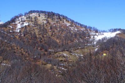
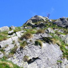
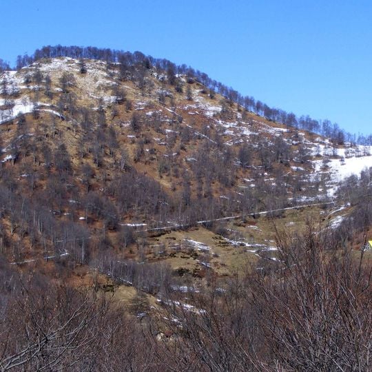
Monte Tovo is a 1,386-metre summit on the watershed between the Strona di Postua valley and the main Valsesia valley, on the border of Borgosesia and Quarona. Its less exposed slopes are largely covered by beech woods, while the south-facing slopes are mostly scrub and meadow, and rocky outcrops surround the top. A metal cross stands near the highest point.
The Italian Military Geographic Institute established a permanent geodetic survey marker at the summit to conduct precise measurements of the surrounding landscape. This official marker records the mountain's role in the larger surveying and mapping efforts of the region.
The Rifugio Luciano Gilodi mountain hut near Monte Tovo's peak serves as a gathering point for mountaineers and provides shelter during alpine expeditions.
Two main hiking routes lead to the summit: one from Costa di Foresto near Borgosesia and another from Roncole in Postua. The Rifugio Luciano Gilodi mountain hut sits near the peak and provides shelter and rest for those making the climb.
The summit cross and the IGM geodetic marker Monte Tovo Est (code 030061) stand close to the top, but the view north is blocked by dense trees and the mountains around Gavala Castle; the open outlook is toward the lower Valsesia.
The community of curious travelers
AroundUs brings together thousands of curated places, local tips, and hidden gems, enriched daily by 93,435 contributors worldwide.