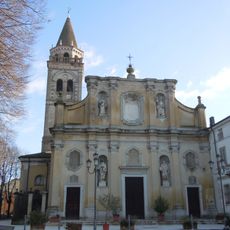
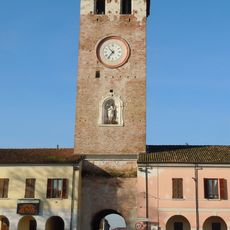
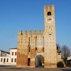
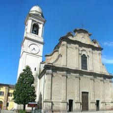
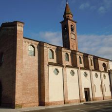
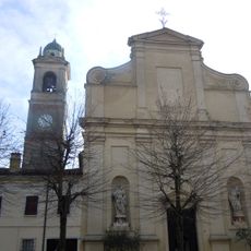
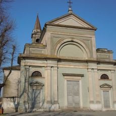
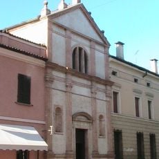
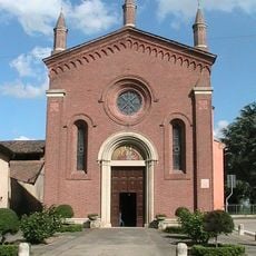
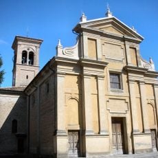
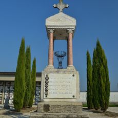
Parco dell'Oglio Sud, Regional park at the Oglio and Po rivers confluence, Province of Cremona and Mantua, Italy
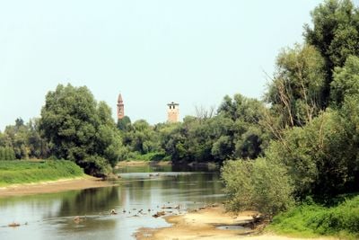
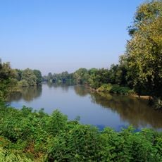
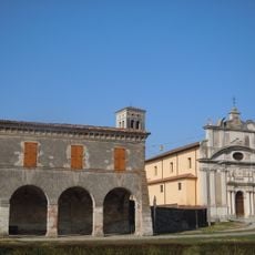
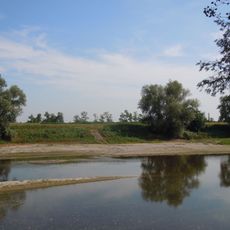
Parco dell'Oglio Sud is a regional park in the lowlands between the Oglio and Po rivers, combining agricultural plains, wetlands, and river landscapes. The park's character is shaped by the meandering Oglio River, which flows between high embankments and creates diverse terrain throughout the area.
The park was established in 1988 as a conservation area protecting the river landscape between Oglio Nord Park and the Po confluence. This designation came from a growing recognition of the need to safeguard lowland river systems in the region.
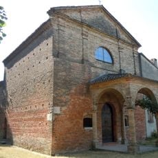
The Ecomuseum Valli Oglio Chiese shows exhibits about how local farmers have worked the land for generations, with displays on regional cheese and cured meat production. These traditions remain deeply connected to the river valleys and seasonal rhythms of the territory.
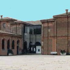
Visitor centers in Acquanegra sul Chiese and Canneto sull'Oglio offer maps and information about walking trails and wildlife viewing opportunities throughout the park. Early morning visits work best for spotting birds and other animals, and comfortable walking shoes are helpful for navigating the often wet or muddy paths.
The area includes several Natura 2000 protected reserves such as Le Bine and Torbiere di Marcaria, which support specialized wetland birds and rare plant species. These reserves provide refuge for species that struggle to survive in the industrialized agricultural landscape surrounding the park.
The community of curious travelers
AroundUs brings together thousands of curated places, local tips, and hidden gems, enriched daily by 60,000 contributors worldwide.